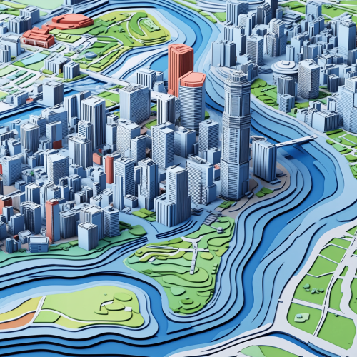
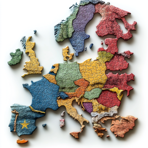
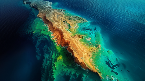
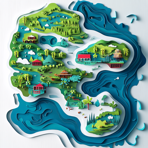
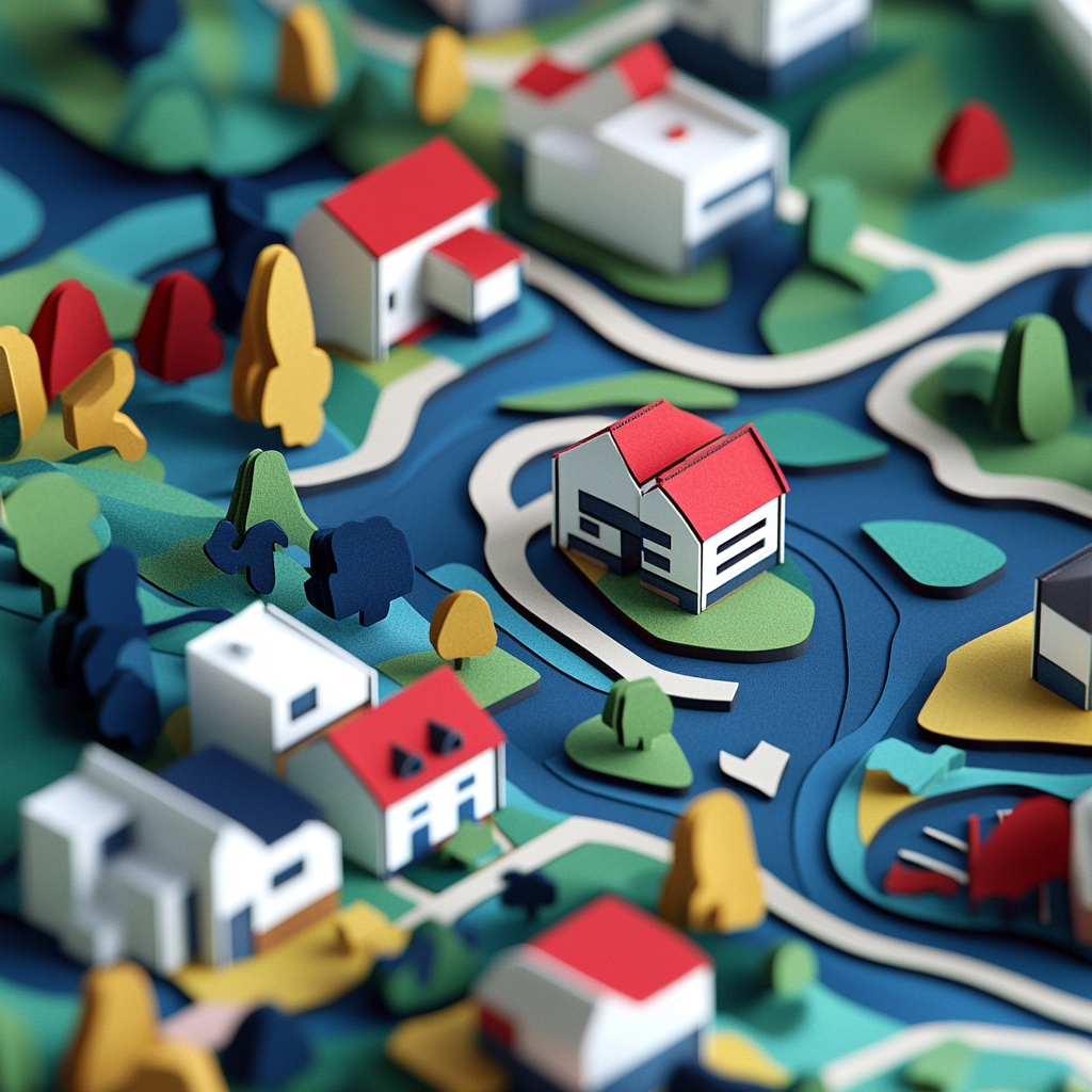
Topographic city map puzzle with colorful houses
License
Free to use with a link to 2moonsai.com
Similar Images
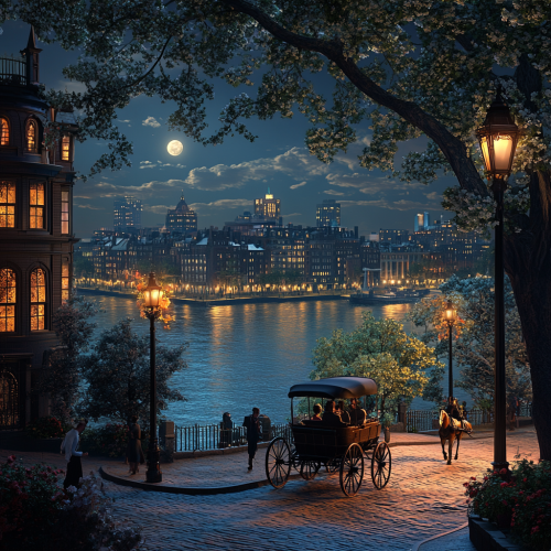
What Boston looks like past, fascinating, 1900s, imaginative, realistic, photographic of the city of Boston, background Boston old city view, incredible, creative, sea 3d render, old Boston houses, Boston people in 1900s, horse carriage, trees, flowers, half moon, night, stars
3D topographic map. puzzle for games. plot: downtown Tokyo. Primary colors of the image: blue, green, red, white, black. paper style cat. very detailed image, all the details are worked out. a little cartoon style. --v 6.1
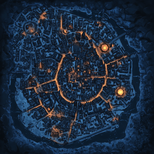
a map of a large dark medieval city for a dnd campaign. Use dark blue colours for most of the map to emphasise a moody scary tone. Sporadic spots of Amber light help define the roads.
Wide shot of a professional looking out over a city skyline with a world map overlay, representing global markets and international expansion. Thin lines connect cities on the map, symbolizing interconnected economies and strategic reach. The left side of the image is lighter, transitioning to darker tones on the right for text overlay. Professional, forward-thinking atmosphere with cool blue tones. Professional photography style. --ar 16:9 --v 6.1 --style raw --q 2
A stylized topographical map of a mountain range, with exaggerated elevations, colorful layers, and contour lines showing varying altitudes. The map has a modern, clean design, with a focus on terrain features and natural formations. Earthy tones, balanced lighting, crisp details. Created Using: topographic mapping techniques, digital art style, layered vector shapes, gradient shading, clean typography, precise linework, natural textures, cartographic accuracy, hd quality, natural look --ar 2:1 --v 6.0
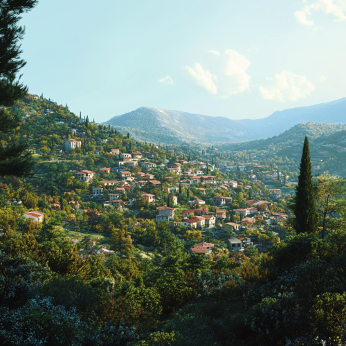
Southern European mountain side of a city with forest and many houses, picture from distance, mix between Italian and Greek landscape, daytime, hot weather, blue sky, realistic image
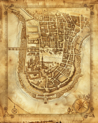
A historical map of an ancient city, with detailed street layouts, city walls, and landmarks. The map is drawn on parchment, with aged and weathered edges, featuring classical cartographic symbols. Sepia tones, warm lighting, subtle shadows. Created Using: hand-drawn illustration, classical cartography style, quill and ink, aged parchment texture, historical accuracy, intricate linework, antique borders, detailed legends, hd quality, natural look --ar 4:5 --v 6.0
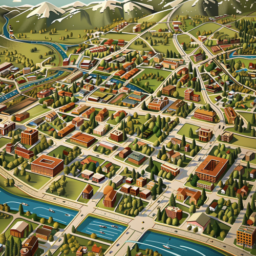
creative 3d vector art map of fort collins, Colorado
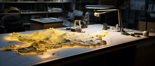
a workspace setup with a detailed topographic map spread on a table below. This scene emphasizes the interplay between temporal and spatial scales. Embedded within the map, place contrasting annotations or overlays: one zone showcasing averaged or 'lumped' data and another showing intricate, 'distributed' data points. --ar 21:9

View Limit Reached
Upgrade for premium prompts, full browsing, unlimited bookmarks, and more.
Get Premium
Limit Reached
Upgrade for premium prompts, full browsing, unlimited bookmarks, and more. Create up to 2000 AI images and download up to 3000 monthly
Get Premium
Become a member
Sign up to download HD images, copy & bookmark prompts.
It's absolutely FREE
 Login or Signup with Google

Become a member
Sign up to download HD images, copy & bookmark prompts.
It's absolutely FREE
 Login or Signup with Google

Limit Reached
Upgrade for premium prompts, full browsing, unlimited bookmarks, and more.
Get Premium




 Download Image (SD)
 Download Image (HD)


