


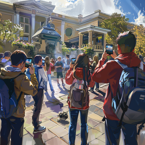
Students taking selfies in geography classroom with landmarks dioramas.


 Download Image (SD)
 Download Image (HD)
Share


License
Free to use with a link to 2moonsai.com

Similar Images


A futuristic geography classroom with a teacher showing students a 3D holographic globe, students pointing at different continents and discussing climate zones, interactive digital maps on the walls, desks equipped with advanced learning tablets. Soft, natural lighting emphasizes the collaborative and engaging environment. Created Using: holographic display design, advanced educational tools, high-tech classroom setup, clean and modern aesthetic, dynamic interaction, cinematic lighting, hd quality, natural look --ar 16:9 --v 6.0


A colorful illustration of a high school social studies classroom, students actively engaging in a gamified learning activity. Virtual game icons and pop-ups surround students as they interact with maps and digital trivia on tablets, all under a vibrant, cartoon-style aesthetic. Bright posters of world history and geography line the walls, glowing with animated icons. Sunlight streams through large windows, adding a lively and energetic atmosphere, soft shadows enhance depth --ar 16:5 --v 6.0


A classroom full of female students in their 20's enjoying a lecture
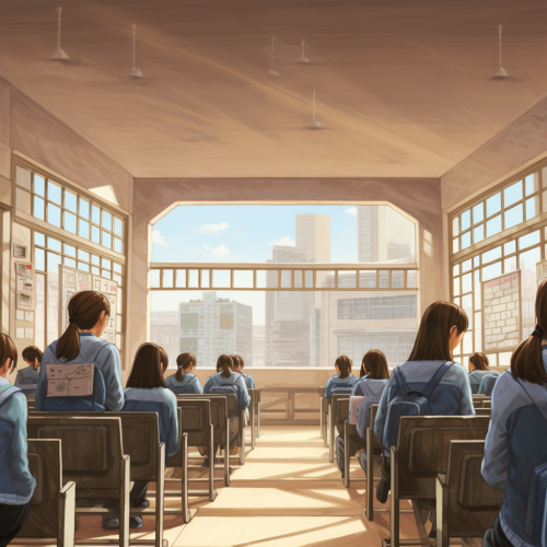
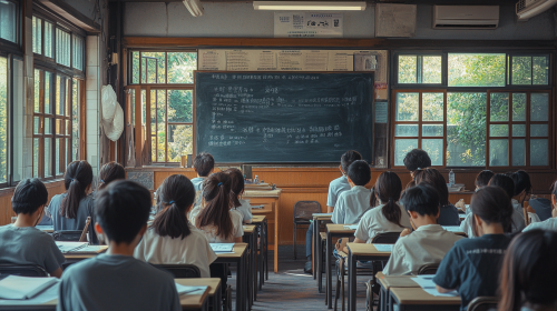
Illustration of the back of students in a Korean high school classroom

A modern classroom transformed into a vibrant geography learning environment, colorful maps on the walls, interactive globe in the center, students engaged in exploring the space, natural light enhancing the scene, modern design elements --v 6.0


Generate a black and white line drawing map of India with the following specifications: The map should clearly demarcate the following four regions with distinct borders: Himalayan Heights: Encompassing the Himalayas, the valleys of Kashmir, the plains of Punjab and Uttar Pradesh, and extending into parts of Nepal and Bhutan. Desert Dynasties: Covering the Thar Desert, Rajasthan, and Gujarat, and extending into parts of Pakistan's Sindh region. Dravidian Depths: Including Tamil Nadu, Kerala, Karnataka, Andhra Pradesh, and extending into parts of Sri Lanka. Bengali Bays: Covering West Bengal, Odisha, the northeastern states, and incorporating parts of Bangladesh and Myanmar. The map should also display significant landmarks like the Himalayas, Thar Desert, Western Ghats, and the Bay of Bengal.
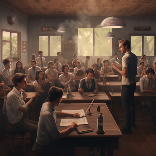
Background of a Taiwanese junior high or high school classroom, viewed from a 45-degree angle from the back corner of the room, looking toward the blackboard. The classroom is filled with students, all seen from behind, focused intently on writing their exam answers, with high detail and historical accuracy ,photograph --ar 16:9


View Limit Reached
Upgrade for premium prompts, full browsing, unlimited bookmarks, and more.
Get Premium
Limit Reached
Upgrade for premium prompts, full browsing, unlimited bookmarks, and more. Create up to 2000 AI images and download up to 3000 monthly
Get Premium
Become a member
Sign up to download HD images, copy & bookmark prompts.
It's absolutely FREE
 Login or Signup with Google
Become a member
Sign up to download HD images, copy & bookmark prompts.
It's absolutely FREE
Login or Signup with Google
Limit Reached
Upgrade for premium prompts, full browsing, unlimited bookmarks, and more.
Get Premium