


Students drawing maps, comparing them to projected map.
Prompt
A hyper-realistic photo of students drawing maps of the world from memory on paper, comparing them to a real world map projected on the classroom wall. The scene captures their focus, with the contrast of hand-drawn maps and a detailed projection --v 6.0 --ar 1:1


 Download Image (SD)
 Download Image (HD)
Share


License
Free to use with a link to 2moonsai.com

Similar Images

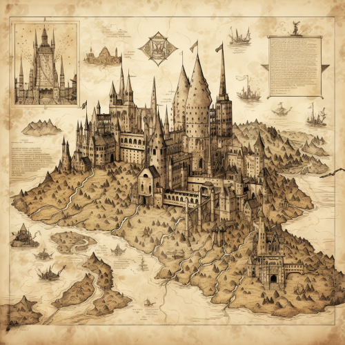
create a detailed D& D virtual tabletop 2D illustrated map, long corridor with 2 doors, perpendicular topdown view, fantasy scientist laboratory, dungeon map concept, vibrant colorful, in the style of an award - winning sci - fi futuristic cartographer --ar 16:9 --s 750 --v 5.1
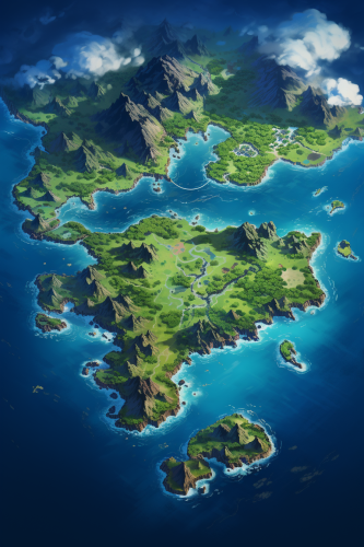
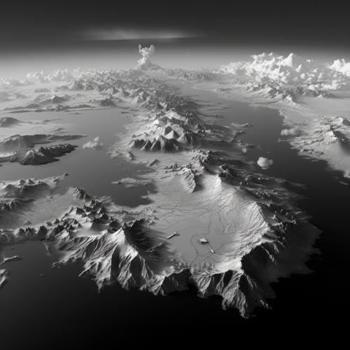
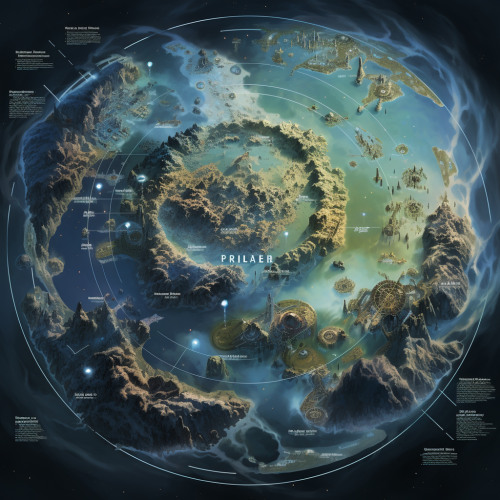
A flat 2d satellite map of a massive pacific territory spanning hundreds of square miles with multiple tropical islands, two of the islands being much larger than the others, the map should show topology, natural landmarks, and city ruins, the map should have no lettering --ar 4:6

A white vector city map in gray shades, tilted in perspective and a layer of blue dotted mesh of dots hovering above it
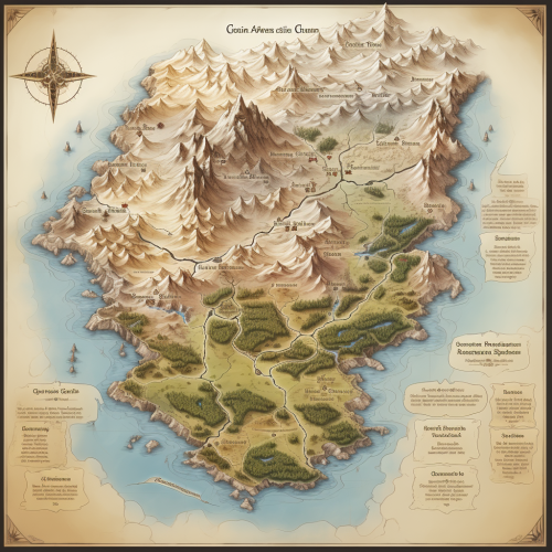
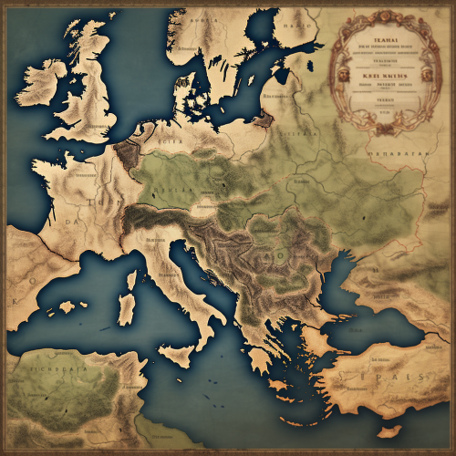
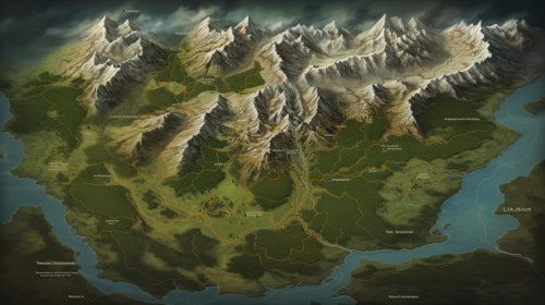
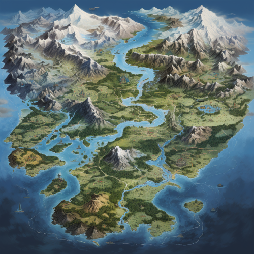
draw a detailed map of an ancient continent, with glaciers to the north. to the south, going east, large forests and mountain ranges. place swamps, lakes, forests --ar 16:9 --s 750
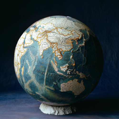
A terrestrial globe with the world map in stone. Blue, white and green. Dark blue backgrouynd --v 6.0
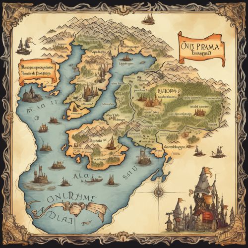
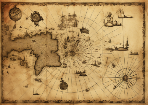
A historical map of an ancient city, with detailed street layouts, city walls, and landmarks. The map is drawn on parchment, with aged and weathered edges, featuring classical cartographic symbols. Sepia tones, warm lighting, subtle shadows. Created Using: hand-drawn illustration, classical cartography style, quill and ink, aged parchment texture, historical accuracy, intricate linework, antique borders, detailed legends, hd quality, natural look --ar 4:5 --v 6.0
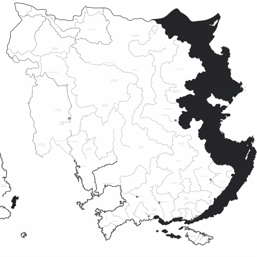
Generate a black and white line drawing map of India with the following specifications: The map should clearly demarcate the following four regions with distinct borders: Himalayan Heights: Encompassing the Himalayas, the valleys of Kashmir, the plains of Punjab and Uttar Pradesh, and extending into parts of Nepal and Bhutan. Desert Dynasties: Covering the Thar Desert, Rajasthan, and Gujarat, and extending into parts of Pakistan's Sindh region. Dravidian Depths: Including Tamil Nadu, Kerala, Karnataka, Andhra Pradesh, and extending into parts of Sri Lanka. Bengali Bays: Covering West Bengal, Odisha, the northeastern states, and incorporating parts of Bangladesh and Myanmar. The map should also display significant landmarks like the Himalayas, Thar Desert, Western Ghats, and the Bay of Bengal.

View Limit Reached
Upgrade for premium prompts, full browsing, unlimited bookmarks, and more.
Get Premium
Limit Reached
Upgrade for premium prompts, full browsing, unlimited bookmarks, and more. Create up to 2000 AI images and download up to 3000 monthly
Get Premium
Become a member
Sign up to download HD images, copy & bookmark prompts.
It's absolutely FREE
 Login or Signup with Google
Become a member
Sign up to download HD images, copy & bookmark prompts.
It's absolutely FREE
Login or Signup with Google
Limit Reached
Upgrade for premium prompts, full browsing, unlimited bookmarks, and more.
Get Premium