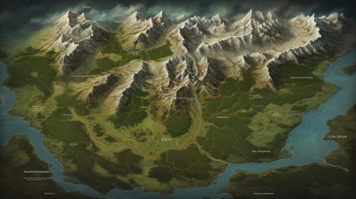
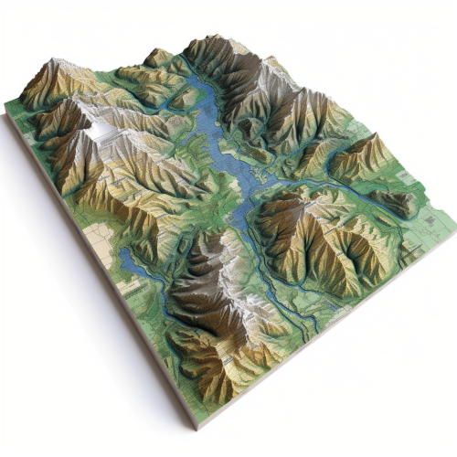
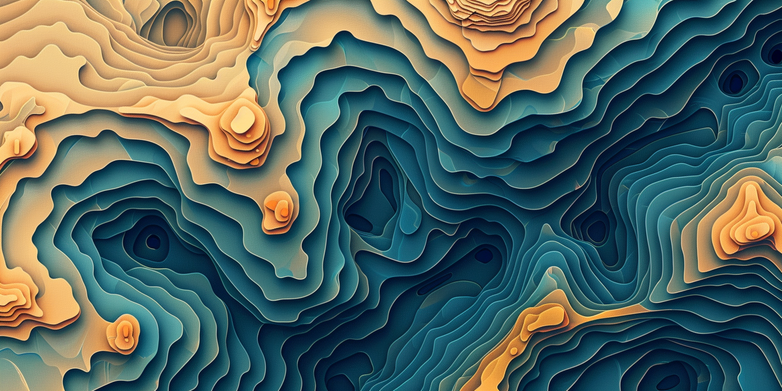
Colorful topographical map of mountain range
Prompt
A stylized topographical map of a mountain range, with exaggerated elevations, colorful layers, and contour lines showing varying altitudes. The map has a modern, clean design, with a focus on terrain features and natural formations. Earthy tones, balanced lighting, crisp details. Created Using: topographic mapping techniques, digital art style, layered vector shapes, gradient shading, clean typography, precise linework, natural textures, cartographic accuracy, hd quality, natural look --ar 2:1 --v 6.0
License
Free to use with a link to 2moonsai.com
Similar Images
A topographical map of an alien planet, with exaggerated features like massive craters, towering mountains, and flowing rivers of lava. The map is vibrant and otherworldly, with intense colors and surreal lighting effects. Bright tones, glowing highlights, strong shadows. Created Using: sci-fi cartography, topographical techniques, digital painting, surreal colors, alien landscape design, exaggerated features, glowing elements, high saturation, hd quality, vivid look --ar 2:3 --v 6.0
Vintage rocky mountain in a long rectangle design, featuring the silhouette of the rocky mountains in colorado with the sillouette of trees at the base, in a screen-print style, minimalistic, close-up shot, flat lay, simple black as the color of the drawing and transparent background. The design includes the outline of evergreen trees at its base, creating a natural contrast that highlights each element against a solid background, long verticle rectangle
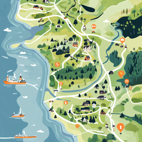
A detailed, illustrative map showing the northern part of denmark. Specificially from the tip ´Skagen to Limfjorden. In detail showing the location of Dronninglund Forest in Denmark, highlighting its proximity to major highways E45 and E39 and ferry connections. Mark the ferry routes from Norway to Hirtshals and from Sweden to Frederikshavn, with clear driving paths leading to Dronninglund. The map should include icons for key features: mountain biking trails in the forest, the nearby town of Dronninglund with symbols for shops selling biking gear, and various accommodation options like hotels. Emphasize the convenience and reduced travel time for Scandinavian visitors looking for a mountain biking adventure.
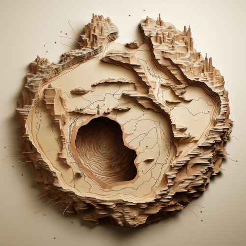
There is a hole in the earth in the shape of a giant, smashed rat. create a minimalist topographical map of this from a straight overhead angle
print design for glaziers and guilds, illustration, modern stylized --s 750 --v 6.0
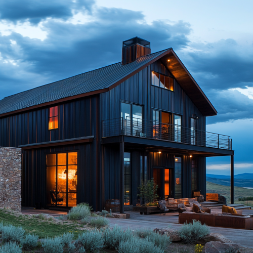
Mountain modern, shop style barndiminium home, in montana by a like. Lots of metal, contemporary design, dark look. Multimillion dollar house, masculine.
Design the background to resemble a topographical map of a Finnish national park or a popular hiking area, with the scene of the two men and their campfire superimposed on it.
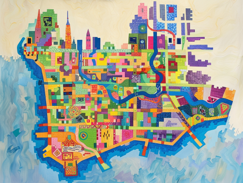
colorful geometric map of the island of manhattan --ar 4:3
logo features a modern and minimalist design with a stylized map of Europe at its center, symbolizing career aspirations. A dotted road emerges from the map, indicating the career journey, while an upward-pointing arrow signifies growth. HDR, 4k
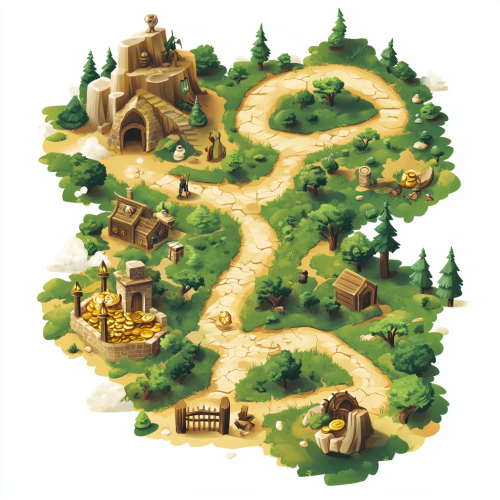
a stylized, easily readable isometric vector-style treasure map showing a route that travels through a forest with an wise old man, a village with a clerk, and a gate with a guard before arriving at the location of a glistening buried treasure

View Limit Reached
Upgrade for premium prompts, full browsing, unlimited bookmarks, and more.
Get Premium
Limit Reached
Upgrade for premium prompts, full browsing, unlimited bookmarks, and more. Create up to 2000 AI images and download up to 3000 monthly
Get Premium
Become a member
Sign up to download HD images, copy & bookmark prompts.
It's absolutely FREE
 Login or Signup with Google

Become a member
Sign up to download HD images, copy & bookmark prompts.
It's absolutely FREE
 Login or Signup with Google

Limit Reached
Upgrade for premium prompts, full browsing, unlimited bookmarks, and more.
Get Premium




 Download Image (SD)
 Download Image (HD)


