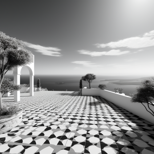
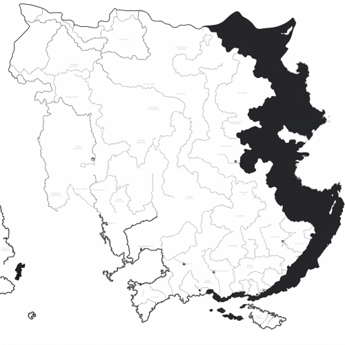
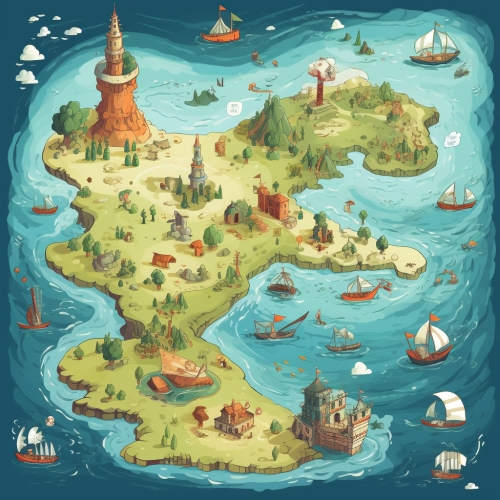
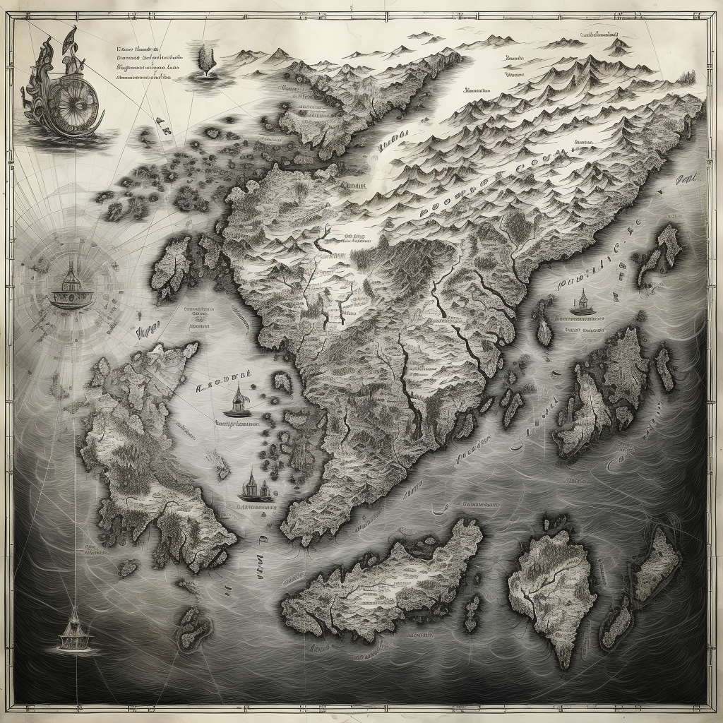
Black and white map of Mediterranean Sea
Prompt
License
Free to use with a link to 2moonsai.com
Similar Images
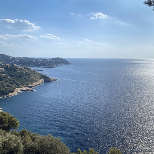
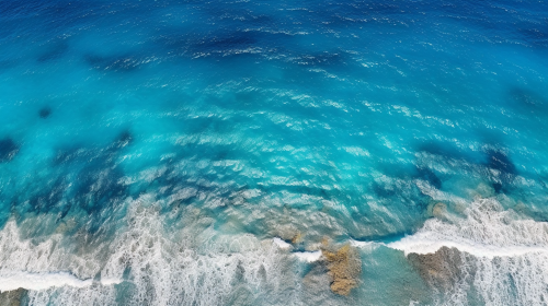
Mediterranean sea font view, we can see the blue sea and the blue sky sunny day with small clouds, we can see some land on the left, the lan is in the style of south of france
many people on the yacht in the mediterrainean sea. bird eye view. smart casual. champagne. picture from the helicopter.elegant, hyper realistic, super detailed, dynamic poses. photorealistic. 32k. --ar 16:9 --s 750 --style raw
Sea turtles in American animated movies. Only one animal is represented. San Reef Lake. A coloring design with various sea creatures scattered separately. Black and white.
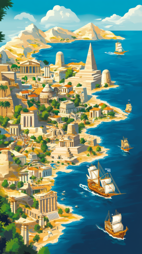
Illustrate Crete Island located at the center of the Mediterranean, showcasing its significance as a key junction for the convergence of Eastern and Western cultures. In the center, depict a detailed map highlighting the island's position and surrounding waters. Surround the map with symbols of diverse cultures, such as ancient Greek temples, Egyptian pyramids, and Eastern pagodas, representing the fusion of different traditions. Include scenes of ancient merchant ships sailing across the waters, illustrating vibrant trade and cultural exchange. The background features the deep blue Mediterranean Sea and sunlit Crete, creating a lively and historical atmosphere --ar 9:16
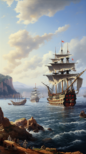
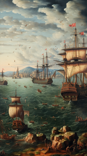
Mediterranean sea with Ottoman naval fleet gathering, 16th-century ships, early morning light, anticipation of battle, Barbaros Hayreddin Pasha overlooking the sea, --ar 9:16
Generate a black and white line drawing map of India with the following specifications: The map should clearly demarcate the following four regions with distinct borders: Himalayan Heights: Encompassing the Himalayas, the valleys of Kashmir, the plains of Punjab and Uttar Pradesh, and extending into parts of Nepal and Bhutan. Desert Dynasties: Covering the Thar Desert, Rajasthan, and Gujarat, and extending into parts of Pakistan's Sindh region. Dravidian Depths: Including Tamil Nadu, Kerala, Karnataka, Andhra Pradesh, and extending into parts of Sri Lanka. Bengali Bays: Covering West Bengal, Odisha, the northeastern states, and incorporating parts of Bangladesh and Myanmar. The map should also display significant landmarks like the Himalayas, Thar Desert, Western Ghats, and the Bay of Bengal.
Mediterranean sea with Ottoman naval fleet gathering, 16th-century ships, early morning light, anticipation of battle, Ottoman admiral overlooking the sea, --ar 9:16

View Limit Reached
Upgrade for premium prompts, full browsing, unlimited bookmarks, and more.
Get Premium
Limit Reached
Upgrade for premium prompts, full browsing, unlimited bookmarks, and more. Create up to 2000 AI images and download up to 3000 monthly
Get Premium
Become a member
Sign up to download HD images, copy & bookmark prompts.
It's absolutely FREE
 Login or Signup with Google

Become a member
Sign up to download HD images, copy & bookmark prompts.
It's absolutely FREE
 Login or Signup with Google

Limit Reached
Upgrade for premium prompts, full browsing, unlimited bookmarks, and more.
Get Premium




 Download Image (SD)
 Download Image (HD)


