Mario plotting a course on a map
Prompt
License
Free to use with a link to 2moonsai.com
Similar Images
thoughtful Mario, deep in contemplation, with a furrowed brow and a gaze directed towards the horizon niji 5
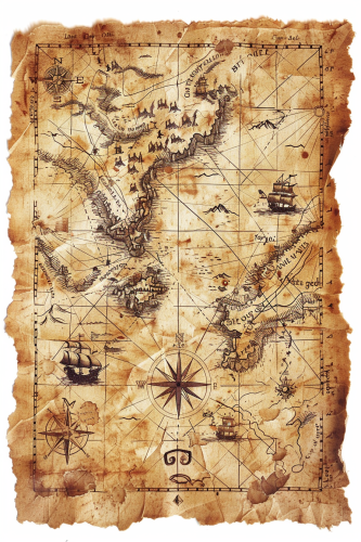
A vintage treasure map, with marked locations, trails, and a compass rose, all sketched on an old, weathered map with torn edges. The map is rich in detail, with pirate-themed icons and hidden treasures. Warm sepia tones, worn texture, soft shadows. Created Using: ink and parchment, vintage pirate style, aged paper effects, distressed textures, hand-drawn symbols, adventurous theme, intricate detailing, antique appearance, hd quality, natural look --ar 2:3 --v 6.0
a Asian man from brunei travelling the world, he has a map that clearly marks out London, China and Hong Kong, make it cartoon with a wacky Newcastle united football club vibe
In Mario's world, Batman might wear a colorful, pixelated costume with a cap resembling Mario's iconic hat. Instead of a cape, he could have a dynamic pixelated trail, and his utility belt might store power-ups like mushrooms and fire flowers. The Batmobile could be a stylized kart equipped with various gadgets from the Mushroom Kingdom.
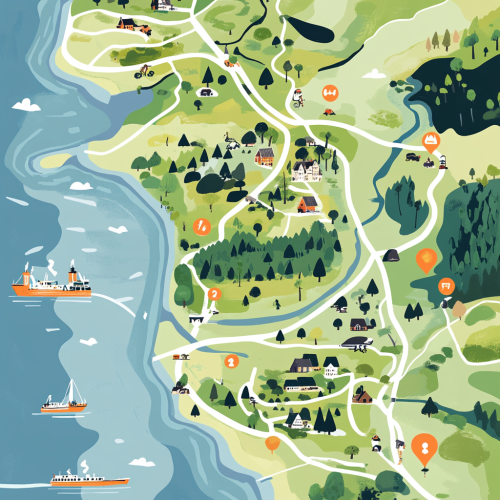
A detailed, illustrative map showing the northern part of denmark. Specificially from the tip ´Skagen to Limfjorden. In detail showing the location of Dronninglund Forest in Denmark, highlighting its proximity to major highways E45 and E39 and ferry connections. Mark the ferry routes from Norway to Hirtshals and from Sweden to Frederikshavn, with clear driving paths leading to Dronninglund. The map should include icons for key features: mountain biking trails in the forest, the nearby town of Dronninglund with symbols for shops selling biking gear, and various accommodation options like hotels. Emphasize the convenience and reduced travel time for Scandinavian visitors looking for a mountain biking adventure.
9. But in the West, they had other plans, a plotting scene of Western Roman officials in secret meeting, 5th century AD, wearing senator togas and military attire, in a dimly lit room with a large map and a table filled with documents, flickering torches casting shadows on the walls in the background, medium shot capturing the conspiracy, hyper-realistic, photo realism, cinematography --ar 9:16
mario in christmas colorful, large images, with white background --v 5.2 --s 250
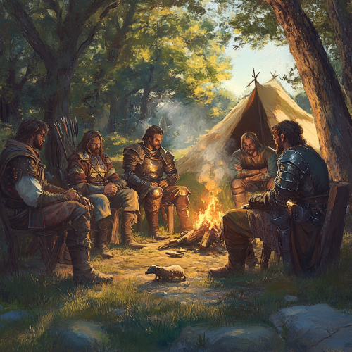
a fantasy group of mercenaries wearing platemail armor, from the D&D adventure Shadow of The Dragon Queen, sitting around a small campsite, plotting an ambush. Late afternoon. The campsite has a small campfire for cooking, with a small animal being cooked on a spitroast. Small, shoddy tents can be seen in the background. The area is sparsely wilderness.

View Limit Reached
Upgrade for premium prompts, full browsing, unlimited bookmarks, and more.
Get Premium
Limit Reached
Upgrade for premium prompts, full browsing, unlimited bookmarks, and more. Create up to 2000 AI images and download up to 3000 monthly
Get Premium
Become a member
Sign up to download HD images, copy & bookmark prompts.
It's absolutely FREE
 Login or Signup with Google

Become a member
Sign up to download HD images, copy & bookmark prompts.
It's absolutely FREE
 Login or Signup with Google

Limit Reached
Upgrade for premium prompts, full browsing, unlimited bookmarks, and more.
Get Premium


 Download Image (SD)
 Download Image (HD)


