


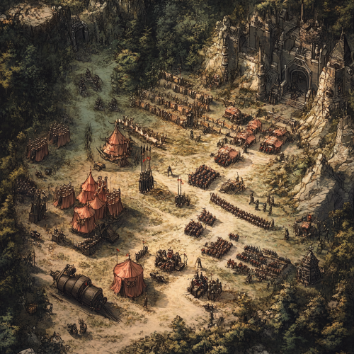
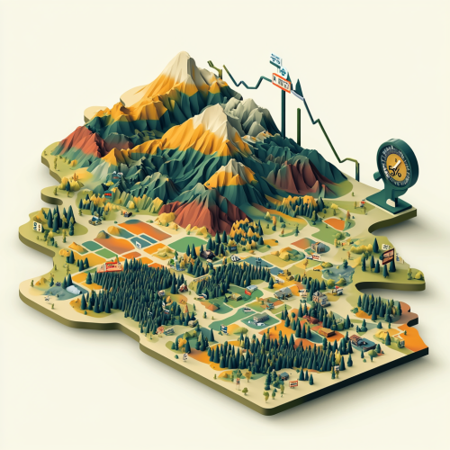
3D map of Los Padres National Forest


 Download Image (SD)
 Download Image (HD)
Share


License
Free to use with a link to 2moonsai.com

Similar Images


A charming ginger cat with an antique map, visiting the ancient Mayan civilization, surrounded by temples, full body, 3D, Pixar style, cartoon --s 750

3D topographic map. puzzle for games. plot: downtown Tokyo. Primary colors of the image: blue, green, red, white, black. paper style cat. very detailed image, all the details are worked out. a little cartoon style. --v 6.1

a movie poster of 5 men in their late 20s at the Daniel Boone national Forest
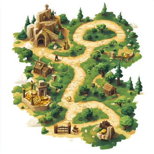
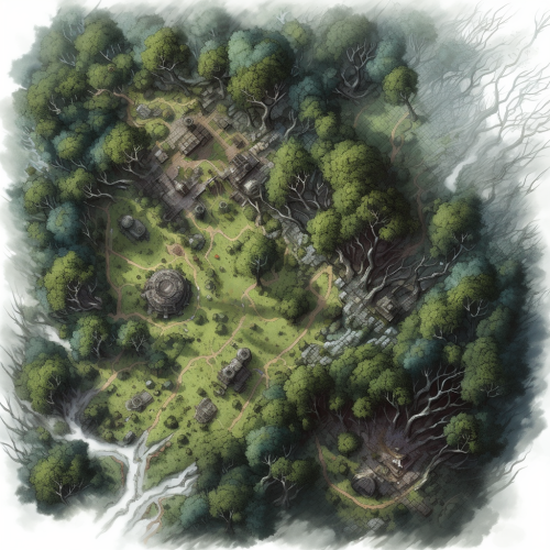
a stylized, easily readable isometric vector-style treasure map showing a route that travels through a forest with an wise old man, a village with a clerk, and a gate with a guard before arriving at the location of a glistening buried treasure

A detailed, illustrative map showing the northern part of denmark. Specificially from the tip ´Skagen to Limfjorden. In detail showing the location of Dronninglund Forest in Denmark, highlighting its proximity to major highways E45 and E39 and ferry connections. Mark the ferry routes from Norway to Hirtshals and from Sweden to Frederikshavn, with clear driving paths leading to Dronninglund. The map should include icons for key features: mountain biking trails in the forest, the nearby town of Dronninglund with symbols for shops selling biking gear, and various accommodation options like hotels. Emphasize the convenience and reduced travel time for Scandinavian visitors looking for a mountain biking adventure.
Create a clean, detailed 3D isometric map of Colorado, illustrated in vibrant colors. Highlight various regions benefiting from the Community First Choice program with distinct colored overlays. Incorporate a graph or meter indicating a 6% increase in federal funding, integrated into the landscape. The visual should be professional, informative, and focus on financial upliftment, suitable for a government or healthcare presentation

What Los Angeles looks like now, fascinating, year 2024, imaginative, realistic, photographic of the city of Los Angeles, people, incredible, creative,different perspective, Hollywood Boulevard 3d render, background gergious Los Angeles city view, sunset, laughing young people

a highly detailed, cinematic photograph of the African continent's 3D map, with Tanzania bursting out of the surface, prominently centered and illuminated, while the surrounding countries subtly fade into the background, evoking a sense of depth and dimensionality, captured with a shallow depth of field
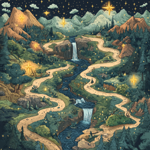
an learning journey visualised as a map with points along the way. the points are stars that are filled to indicate completion. the journey is set through a forest. The path does not cross each other. There are litter rivers, water falls, trees and mountains on the map.
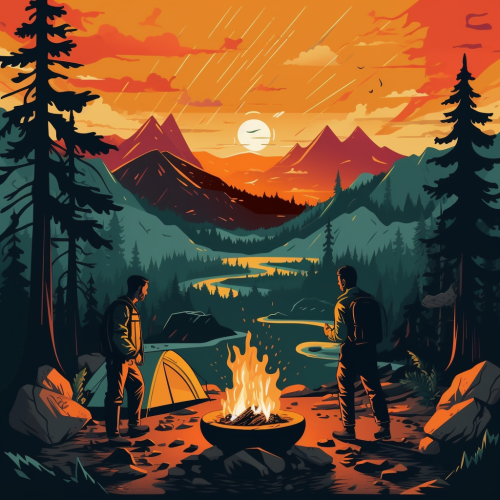
Design the background to resemble a topographical map of a Finnish national park or a popular hiking area, with the scene of the two men and their campfire superimposed on it.

View Limit Reached
Upgrade for premium prompts, full browsing, unlimited bookmarks, and more.
Get Premium
Limit Reached
Upgrade for premium prompts, full browsing, unlimited bookmarks, and more. Create up to 2000 AI images and download up to 3000 monthly
Get Premium
Become a member
Sign up to download HD images, copy & bookmark prompts.
It's absolutely FREE
 Login or Signup with Google
Become a member
Sign up to download HD images, copy & bookmark prompts.
It's absolutely FREE
Login or Signup with Google
Limit Reached
Upgrade for premium prompts, full browsing, unlimited bookmarks, and more.
Get Premium