


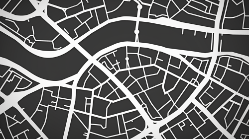
Close-up Grey Map of London
Prompt
create a simple vector illustration of a close up zoomed in gps map in a small part of london including river thames, emphasizing light and greyscale tones. Exclude any depictions of a mobile phone. The goal is to create a clean and focused vector image of the map itself.


 Download Image (SD)
 Download Image (HD)
Share


License
Free to use with a link to 2moonsai.com

Similar Images

A group of adults look at a cell phone with a map on the screen you can see. They are in a circle and are inside a condominium common space, with the condominium staircase and condominium elevator in Milan. Classic style condominium. in summer, good weather. spring --ar 3:1

The navigation map with a black background marks the destination as a hospital with a cross icon. The navigation route is highlighted in red, while other road lines are presented in white.
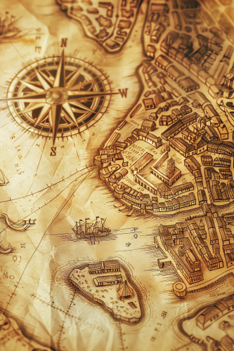
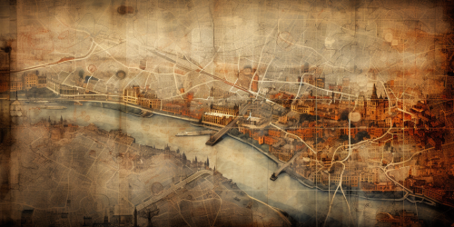
A stylized map of an ancient city, hand-drawn on aged parchment. The map includes winding rivers, narrow streets, and historic buildings, with an ornate compass in the corner. Sepia tones, soft light, subtle shadows. Created using: hand-drawing, Renaissance cartography style, aged paper texture, precise details, vintage iconography, historical accuracy, hd quality, natural look --ar 2:3 --v 6.0
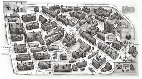
Can you draw an Atlas map consistent with Old London Towne in details and stylistically, with numerical map indicators for a legend showing where each of the 20 businesses from Marley's secret ledger, plus the Marley & Scrooge counting house, Marley's residence, and Scrooge's residence are all located? top down flat view, dnd fantasy, white background bw doodle engraving style, wide seamless cartography map depicting London around the year 1825 --ar 16:9 --v 5.0
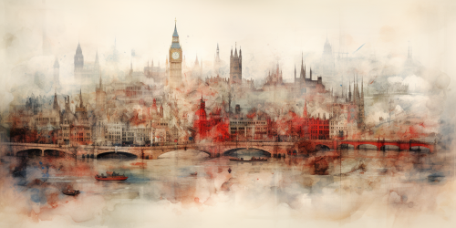
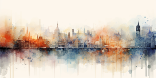
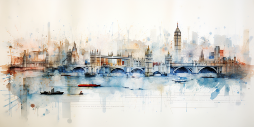
old map of london in shakeespeare time, Watercolour, blurred edges --ar 2:1

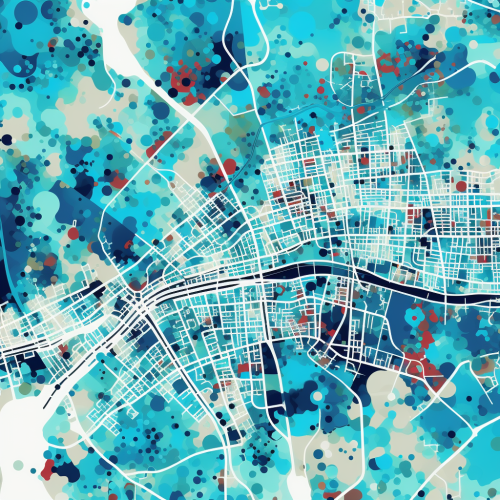
digital simple map of london city zoomed in to street level, simple shapes, rectangular image, bold, striking, primary color teal, secondary color white, white background, washed colors

The electric vehicle control panel displays battery information on one-third of the screen, showing a range of 120 kilometers and battery temperature, while the remaining two-thirds shows the navigation map.

a Asian man from brunei travelling the world, he has a map that clearly marks out London, China and Hong Kong, make it fun but also hyper realistic with a Newcastle united football club vibe

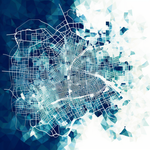
minimal map of london city for gui, simple shapes, rectangular image, bold, striking, primary color teal, secondary color navy blue, white background, washed colors, high resolution
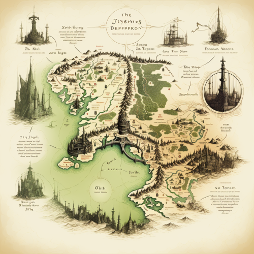
map of london in the style of lord of the rings or the hobbit

View Limit Reached
Upgrade for premium prompts, full browsing, unlimited bookmarks, and more.
Get Premium
Limit Reached
Upgrade for premium prompts, full browsing, unlimited bookmarks, and more. Create up to 2000 AI images and download up to 3000 monthly
Get Premium
Become a member
Sign up to download HD images, copy & bookmark prompts.
It's absolutely FREE
 Login or Signup with Google
Become a member
Sign up to download HD images, copy & bookmark prompts.
It's absolutely FREE
Login or Signup with Google
Limit Reached
Upgrade for premium prompts, full browsing, unlimited bookmarks, and more.
Get Premium