


Simple London City Map
Prompt
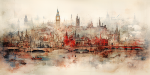
digital simple map of london city zoomed in to street level, simple shapes, rectangular image, bold, striking, primary color teal, secondary color white, white background, washed colors


 Download Image (SD)
 Download Image (HD)
Share


License
Free to use with a link to 2moonsai.com

Similar Images

a Asian man from brunei travelling the world, he has a map that clearly marks out London, China and Hong Kong, make it fun but also hyper realistic with a Newcastle united football club vibe
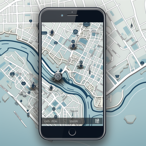
create a simple vector illustration of a close up zoomed in gps map in a small part of london including river thames, emphasizing light and greyscale tones. Exclude any depictions of a mobile phone. The goal is to create a clean and focused vector image of the map itself.

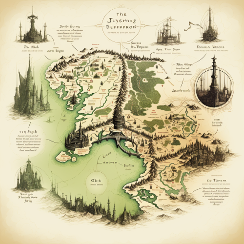
map of london in the style of lord of the rings or the hobbit
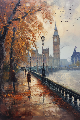
A picturesque street scene in London during autumn, capturing the essence of a crisp, foggy day. People enjoying the day. The iconic London Bridge in the background, with the River Thames flowing beneath. Big Ben and the London Eye visible in the distant skyline. Oil painting. --aspect 2:3 --v 6.0
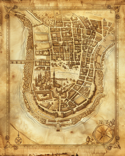
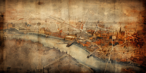
A historical map of an ancient city, with detailed street layouts, city walls, and landmarks. The map is drawn on parchment, with aged and weathered edges, featuring classical cartographic symbols. Sepia tones, warm lighting, subtle shadows. Created Using: hand-drawn illustration, classical cartography style, quill and ink, aged parchment texture, historical accuracy, intricate linework, antique borders, detailed legends, hd quality, natural look --ar 4:5 --v 6.0

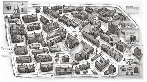
Can you draw an Atlas map consistent with Old London Towne in details and stylistically, with numerical map indicators for a legend showing where each of the 20 businesses from Marley's secret ledger, plus the Marley & Scrooge counting house, Marley's residence, and Scrooge's residence are all located? top down flat view, dnd fantasy, white background bw doodle engraving style, wide seamless cartography map depicting London around the year 1825 --ar 16:9 --v 5.0
old map of london in shakeespeare time, Watercolour, blurred edges --ar 2:1

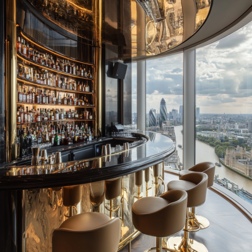
interior cool bar, hyper luxury bar, contemporary, bold colour, metal brass detailing, beautiful bottle display, leather bar stool, swanky furniture, mirror ceiling, contemporary furniture, view of London from high floor
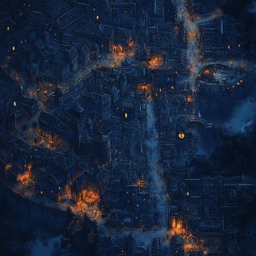
a map of a large, dense, medieval city for a dnd campaign. It should look dark and foreboding. Use plenty of dark blue colours with sporadic amounts of Amber to illuminate the streets.

Wide shot of a professional looking out over a city skyline with a world map overlay, representing global markets and international expansion. Thin lines connect cities on the map, symbolizing interconnected economies and strategic reach. The left side of the image is lighter, transitioning to darker tones on the right for text overlay. Professional, forward-thinking atmosphere with cool blue tones. Professional photography style. --ar 16:9 --v 6.1 --style raw --q 2

minimal map of london city for gui, simple shapes, rectangular image, bold, striking, primary color teal, secondary color navy blue, white background, washed colors, high resolution

View Limit Reached
Upgrade for premium prompts, full browsing, unlimited bookmarks, and more.
Get Premium
Limit Reached
Upgrade for premium prompts, full browsing, unlimited bookmarks, and more. Create up to 2000 AI images and download up to 3000 monthly
Get Premium
Become a member
Sign up to download HD images, copy & bookmark prompts.
It's absolutely FREE
 Login or Signup with Google
Become a member
Sign up to download HD images, copy & bookmark prompts.
It's absolutely FREE
Login or Signup with Google
Limit Reached
Upgrade for premium prompts, full browsing, unlimited bookmarks, and more.
Get Premium