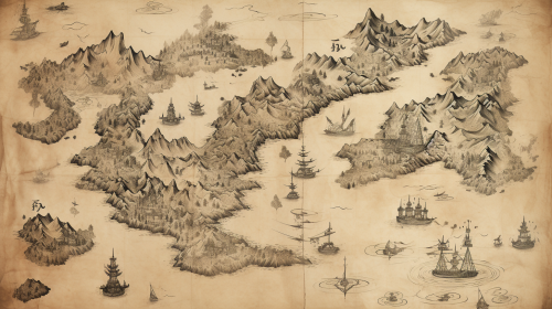
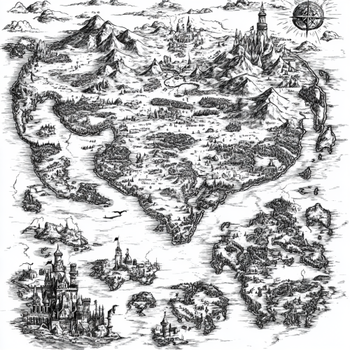
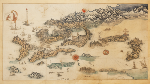
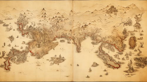
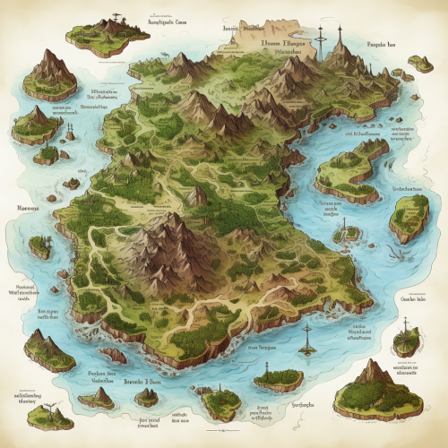
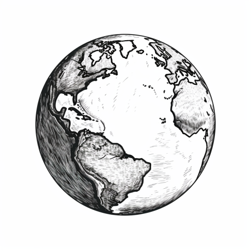
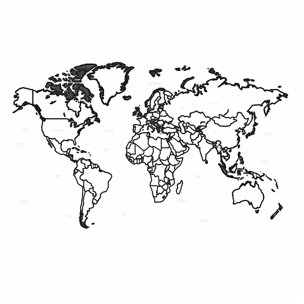
Detailed hand-drawn world map illustration
License
Free to use with a link to 2moonsai.com
Similar Images
black Natural plants, herbage, vegetation sketch hand made drawing in style of Toulouse-Lautrec, Antonio Lopez, klimt, colored with pastel chalk, charcoal, pencil color, soft drawing, background white --c 10 --ar 4:5
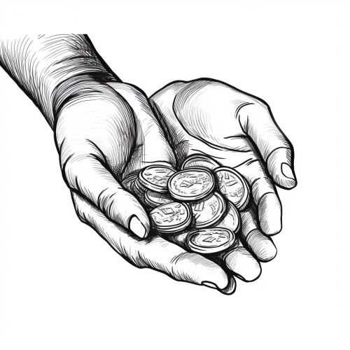
Centering - hand drawn sketch vector illustration- black and white --style raw
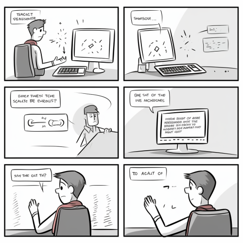
A hand-drawn storyboard with 5 panels. It should be made using a graphite pencil. the panels are as follows: Panel 1: Shows a computer screen with a warning or alert message that reads "CATEGORY 1", indicating some sort of prioritization or error classification. A person appears to be interacting with the computer. Panel 2: The same person seems frustrated, as indicated by the speech bubble that reads "IT'S SO SLOW AND LAGGY!!!", suggesting that the computer system is not responding well. Panel 3: Another character is introduced, standing and speaking to the seated person, saying "I just updated the UI so it can handle the system. It shouldn't lag now." This suggests that they have implemented a fix or improvement to the user interface. Panel 4: The perspective switches to the computer screen, showing a map with several buttons labeled "SEND ETA", which could imply a logistics or dispatch system for sending estimated times of arrival. Panel 5: The computer screen displays a message "PATIENT SAVED! SUCCESS", indicating that the actions taken were part of a medical or emergency response system and that the outcome was positive.
hand drawn sketch of a Coquito drink, high contrast, black and white
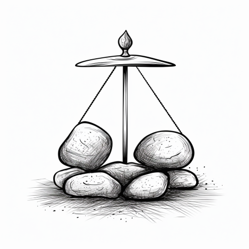
Balance - scribbles - hand drawn sketch vector illustration- black and white --style raw
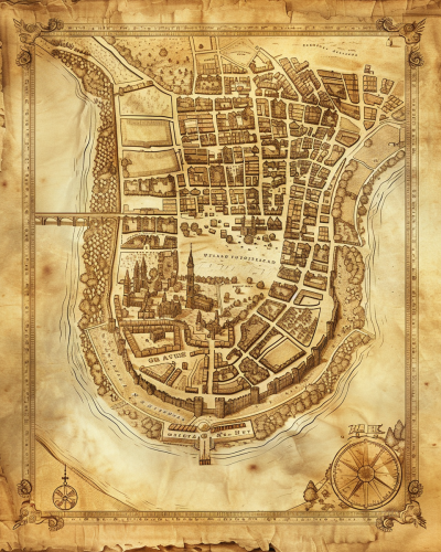
A historical map of an ancient city, with detailed street layouts, city walls, and landmarks. The map is drawn on parchment, with aged and weathered edges, featuring classical cartographic symbols. Sepia tones, warm lighting, subtle shadows. Created Using: hand-drawn illustration, classical cartography style, quill and ink, aged parchment texture, historical accuracy, intricate linework, antique borders, detailed legends, hd quality, natural look --ar 4:5 --v 6.0
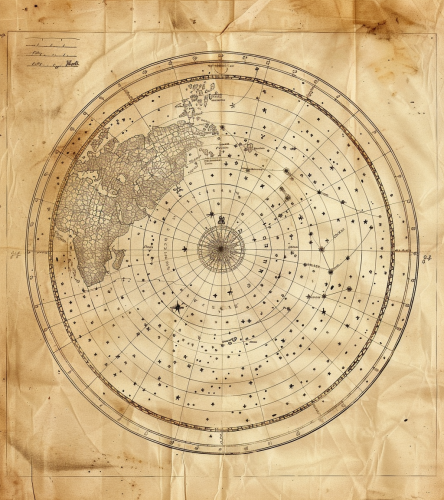
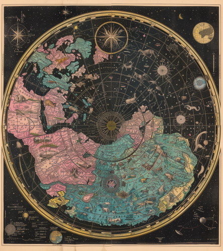
Old, hand-drawn circle world map with stars and constellations coloured green, pink, blue, yellow and black. In the centre at the top is written the name ‘Celestial North Pole’. Each line of constellations has animal symbols for their colour. The map has white borders and ink blurs. The full view shows detailed specifications. --ar 57:64 --v 6.0
map of ancient crystals, duotone, hand drawn, illustrated

View Limit Reached
Upgrade for premium prompts, full browsing, unlimited bookmarks, and more.
Get Premium
Limit Reached
Upgrade for premium prompts, full browsing, unlimited bookmarks, and more. Create up to 2000 AI images and download up to 3000 monthly
Get Premium
Become a member
Sign up to download HD images, copy & bookmark prompts.
It's absolutely FREE
 Login or Signup with Google

Become a member
Sign up to download HD images, copy & bookmark prompts.
It's absolutely FREE
 Login or Signup with Google

Limit Reached
Upgrade for premium prompts, full browsing, unlimited bookmarks, and more.
Get Premium




 Download Image (SD)
 Download Image (HD)


