


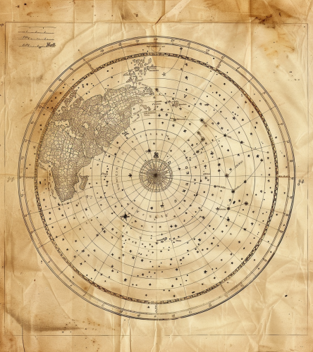
Astronomical map showing the stars.
Prompt
a map of the stars --aspect 7:4


 Download Image (SD)
 Download Image (HD)
Share


License
Free to use with a link to 2moonsai.com

Similar Images

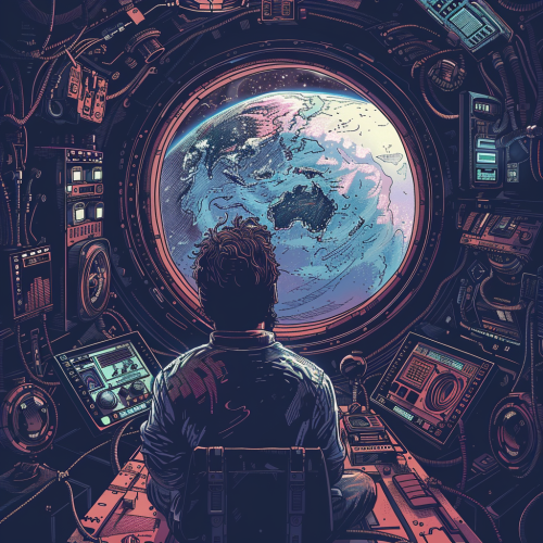
A space gardener tending to a Gaudí and Senosiain-designed interstellar botanical garden, where exotic space plants thrive in artful, organic pods, creating an oasis of greenery amidst the stars --style raw --chaos 20 --ar 4:5 --v 6.0
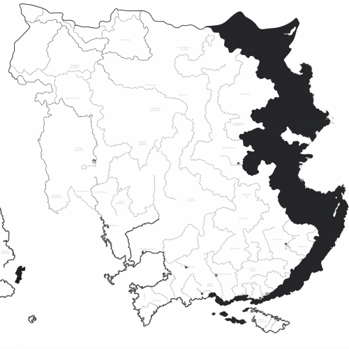
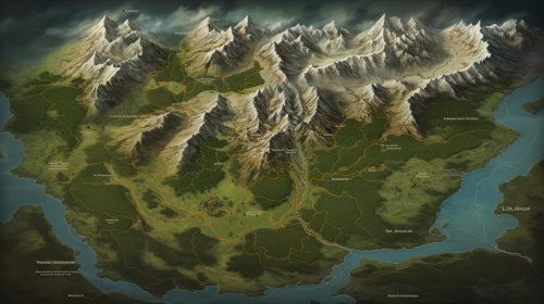
Generate a black and white line drawing map of India with the following specifications: The map should clearly demarcate the following four regions with distinct borders: Himalayan Heights: Encompassing the Himalayas, the valleys of Kashmir, the plains of Punjab and Uttar Pradesh, and extending into parts of Nepal and Bhutan. Desert Dynasties: Covering the Thar Desert, Rajasthan, and Gujarat, and extending into parts of Pakistan's Sindh region. Dravidian Depths: Including Tamil Nadu, Kerala, Karnataka, Andhra Pradesh, and extending into parts of Sri Lanka. Bengali Bays: Covering West Bengal, Odisha, the northeastern states, and incorporating parts of Bangladesh and Myanmar. The map should also display significant landmarks like the Himalayas, Thar Desert, Western Ghats, and the Bay of Bengal.
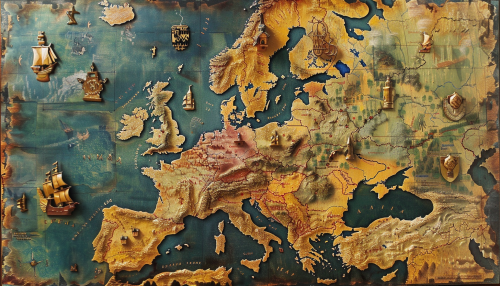
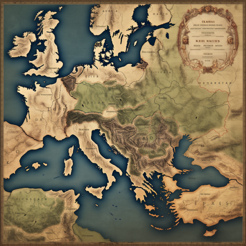
#103472 map of Europe, mark Germany, mark Czech Republic, mark Poland, mark Romania --v 6.0 --ar 7:4

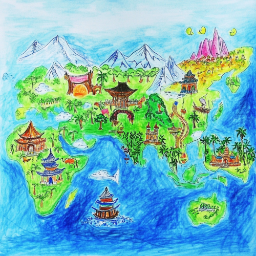
Please draw a world map with Asia and the Pacific at the center. This map is like a children's drawing contest. The theme of the drawing contest is a map of everyday life.
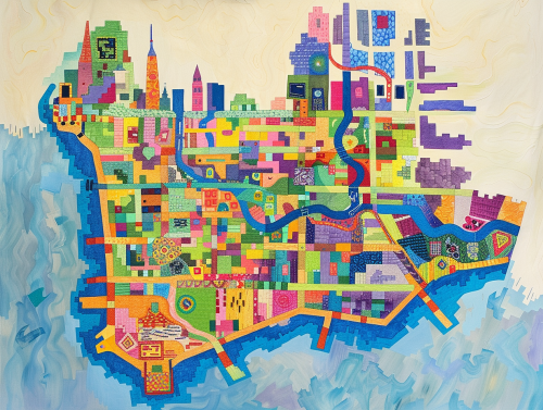
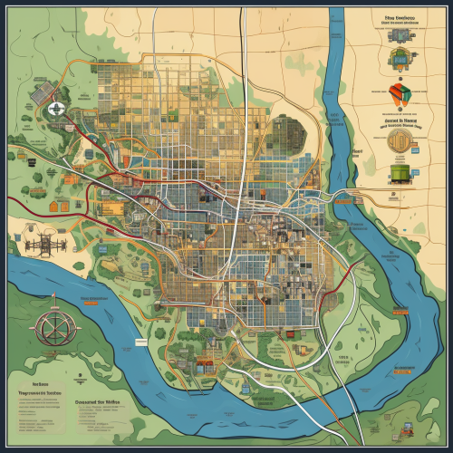
colorful geometric map of the island of manhattan --ar 4:3
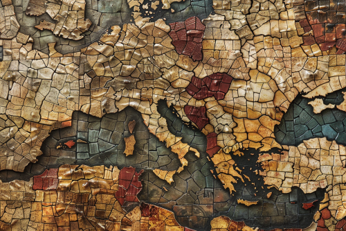
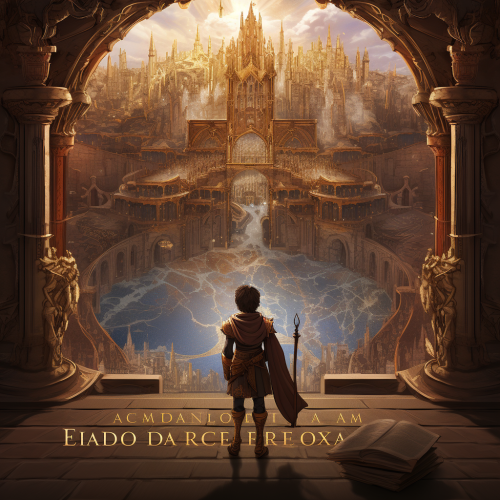
A mosaic map of a historical empire, with tiny, colorful tiles forming the shapes of territories, cities, and landmarks. The map has an ancient, handcrafted feel, with uneven textures and a weathered appearance. Earthy tones, natural lighting, subtle shadows. Created Using: mosaic art style, ancient map design, hand-placed tiles, uneven textures, earthy color palette, historical accuracy, antique finish, handcrafted appearance, hd quality, natural look --ar 3:2 --v 6.0

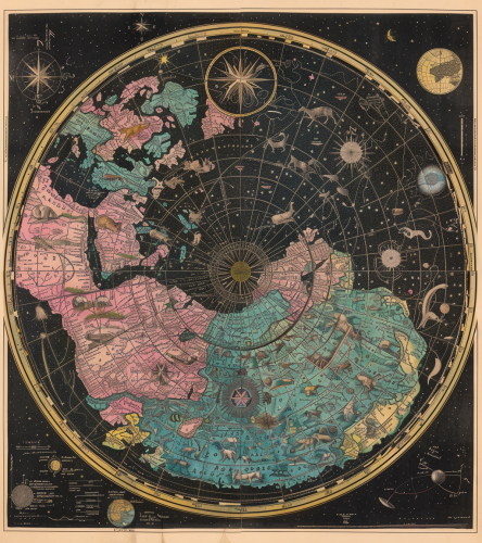
Old, hand-drawn circle world map with stars and constellations coloured green, pink, blue, yellow and black. In the centre at the top is written the name ‘Celestial North Pole’. Each line of constellations has animal symbols for their colour. The map has white borders and ink blurs. The full view shows detailed specifications. --ar 57:64 --v 6.0

View Limit Reached
Upgrade for premium prompts, full browsing, unlimited bookmarks, and more.
Get Premium
Limit Reached
Upgrade for premium prompts, full browsing, unlimited bookmarks, and more. Create up to 2000 AI images and download up to 3000 monthly
Get Premium
Become a member
Sign up to download HD images, copy & bookmark prompts.
It's absolutely FREE
 Login or Signup with Google
Become a member
Sign up to download HD images, copy & bookmark prompts.
It's absolutely FREE
Login or Signup with Google
Limit Reached
Upgrade for premium prompts, full browsing, unlimited bookmarks, and more.
Get Premium