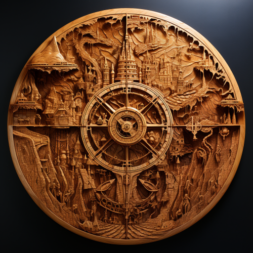
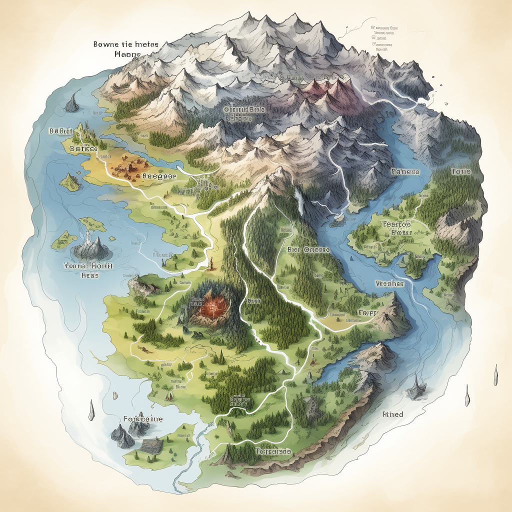
Majestic Four Areas Map Unveiled
Prompt
License
Free to use with a link to 2moonsai.com
Similar Images
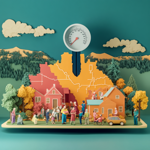
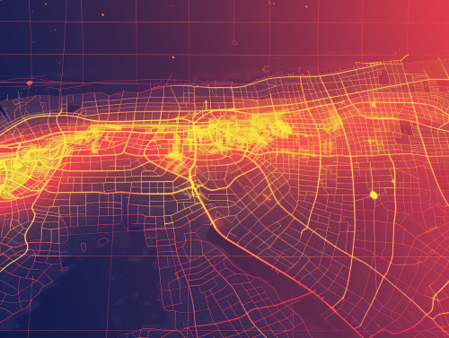
"A dynamic 3D animated scene illustrating the financial benefits of CFC for Colorado. Visualize a map of Colorado, with areas receiving benefits highlighted in vibrant colors. Above the map, a meter or graph shows a 6% increase in federal funding. Around the map, diverse groups of people--families, elderly, and caregivers--celebrate the benefits. The environment is positive and hopeful, with a backdrop of Colorado landscapes
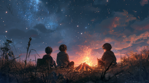
four kids sitting around a bonfire under a stary sky, fantasy digital art trending on artstation, --v 6.0 --ar 16:9
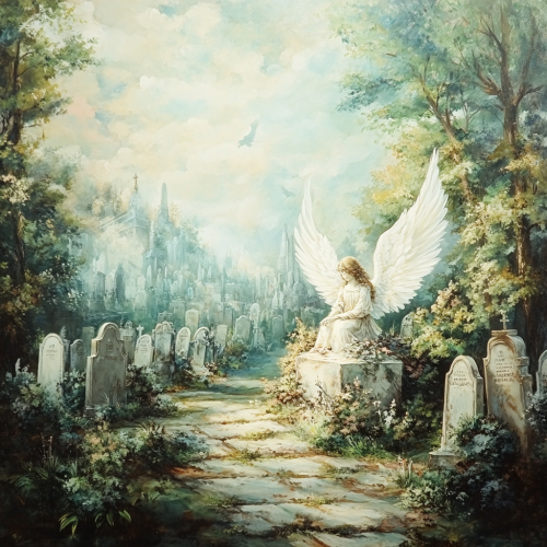
A beautiful painting depicts a cemetery with many graves, a beautiful angel with white wings sits on a tombstone, in the style of ethereal landscapes, large canvas, enchanting areas, large canvas painting, blurry landscapes --v 6.1
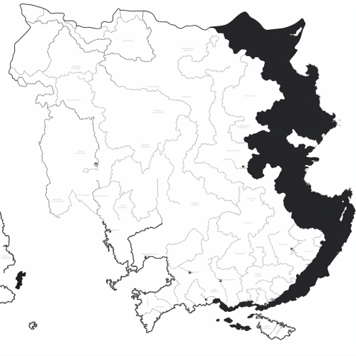
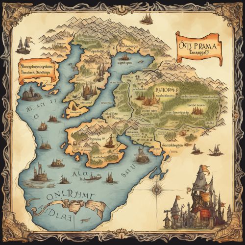
Generate a black and white line drawing map of India with the following specifications: The map should clearly demarcate the following four regions with distinct borders: Himalayan Heights: Encompassing the Himalayas, the valleys of Kashmir, the plains of Punjab and Uttar Pradesh, and extending into parts of Nepal and Bhutan. Desert Dynasties: Covering the Thar Desert, Rajasthan, and Gujarat, and extending into parts of Pakistan's Sindh region. Dravidian Depths: Including Tamil Nadu, Kerala, Karnataka, Andhra Pradesh, and extending into parts of Sri Lanka. Bengali Bays: Covering West Bengal, Odisha, the northeastern states, and incorporating parts of Bangladesh and Myanmar. The map should also display significant landmarks like the Himalayas, Thar Desert, Western Ghats, and the Bay of Bengal.
use the four natural elements: fire,air,water and earth to create a frame to expose in a barbershop
harry potter marauders map inspired summer dress --ar 2:3 --v 6.0
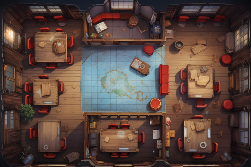
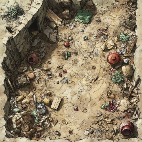
a tabletop rpg map in orthographic top down style depicting the interior of an academy classroom, marble walls and floor, red tapestry, fairy academia, 8K,clean design --ar 3:2 --v 5.2 --s 250
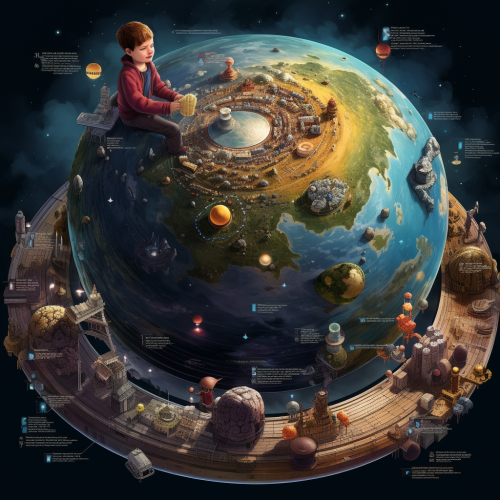
de un mapa del planeta como si un niño de 8 años lo dibujara donde los lugares más representativos con sus maravillas sean ilustrados
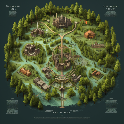
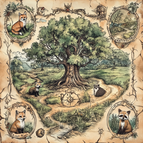
weathered victorian botanical illustration of a map of an ancient and magical woodland, in each corner there is an illustration of a fox, badger, raccoon and hedgehog. In the centre of the map is an ancient tree with magical symbols all around it

View Limit Reached
Upgrade for premium prompts, full browsing, unlimited bookmarks, and more.
Get Premium
Limit Reached
Upgrade for premium prompts, full browsing, unlimited bookmarks, and more. Create up to 2000 AI images and download up to 3000 monthly
Get Premium
Become a member
Sign up to download HD images, copy & bookmark prompts.
It's absolutely FREE
 Login or Signup with Google

Become a member
Sign up to download HD images, copy & bookmark prompts.
It's absolutely FREE
 Login or Signup with Google

Limit Reached
Upgrade for premium prompts, full browsing, unlimited bookmarks, and more.
Get Premium




 Download Image (SD)
 Download Image (HD)


