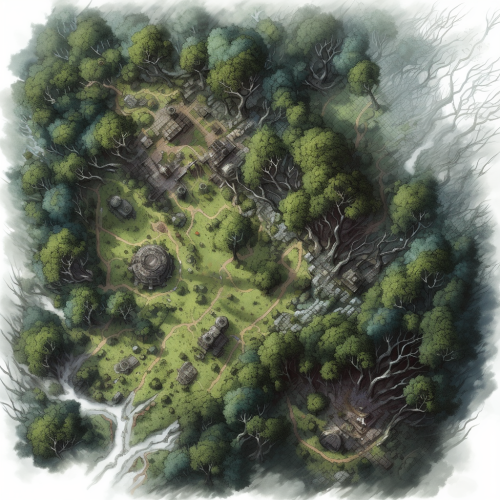
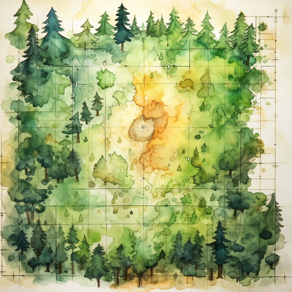
Watercolor forest map on a grid
Prompt
License
Free to use with a link to 2moonsai.com
Similar Images
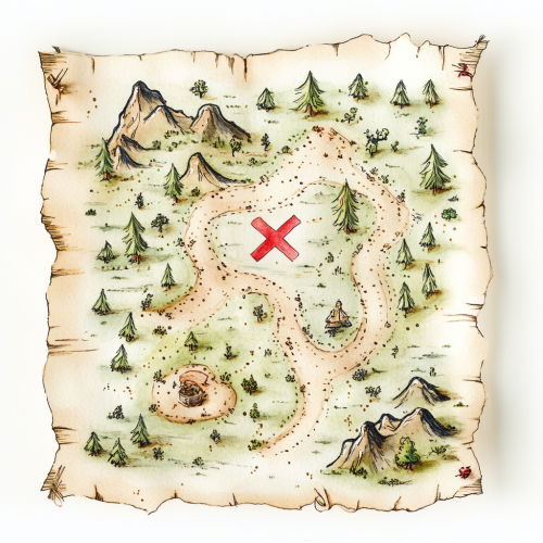
Create a front-facing watercolor illustration of a simple, cute treasure map. The map should have a whimsical design with hand-drawn elements, like small winding paths, dotted lines, tiny trees, and mountains. In the center of the map, include a large, playful red 'X' marking the treasure spot. The edges of the map should be slightly uneven and frayed, giving it a charming, vintage feel. Use soft, pastel watercolor tones to add a light, inviting atmosphere. Keep the background transparent or white, with no additional elements, so the map is easy to overlay or edit in Photoshop
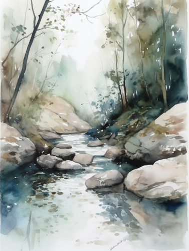
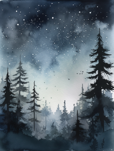
A minimalist watercolor painting, gentle stream flowing through forest with fallen leaves and stones, soft blue and green accents, peaceful atmosphere, inspired by 'Dumbrava Minunată,' airy and minimalistic details, A4 format, high-quality, 300 DPI --ar 3:4 --v 5.0
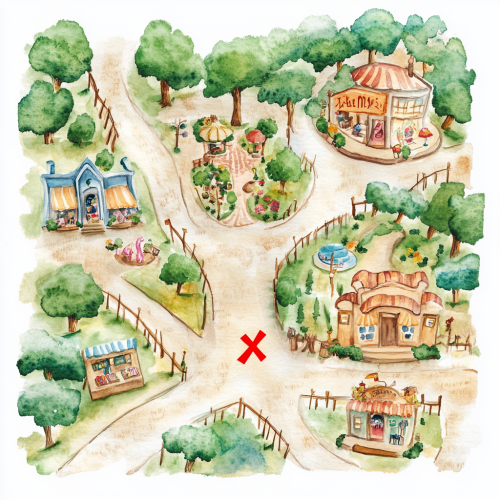
Create a front-facing watercolor illustration of a whimsical treasure map that blends elements of a shopping mall with a magical outdoor fairy tale setting. The map should feature charming, hand-drawn paths winding through both indoor and outdoor areas. Include small, playful icons representing shops, such as a toy store, a bookstore, and an ice cream stand, alongside enchanted elements like a hidden garden, a sparkling fountain, and a tiny magical forest. Add a large, playful red 'X' to mark the treasure spot. The edges of the map should be slightly frayed for a vintage feel, and the watercolor style should use soft, pastel tones with a mix of warm indoor and bright outdoor colors. Keep the background transparent or white to make the map easily editable and perfect for a children’s storybook or interactive adventure design.
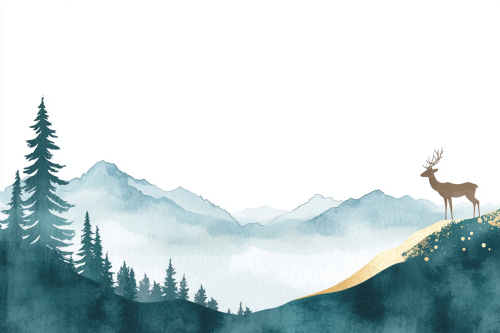
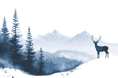
White background, blue, forest with tall trees on the left side of the page, mountains in the distance, a deer standing at the top of a hill, in a simple watercolor style, with white space around the other elements, and a teal blue and gold gradient color scheme. --ar 3:2 --v 6.1
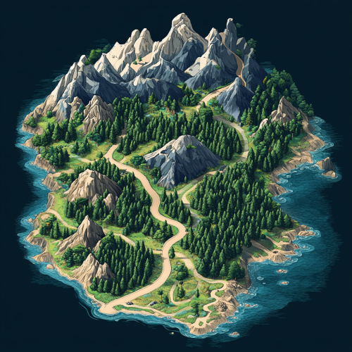
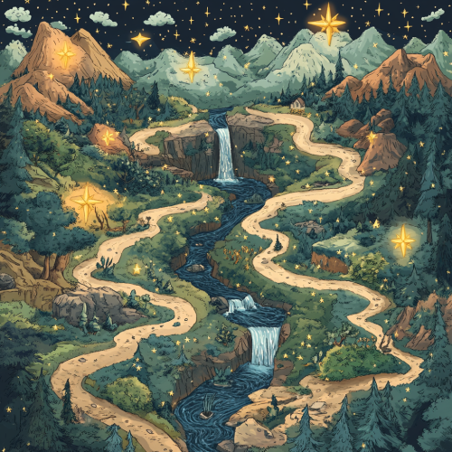
an learning journey visualised as a map with points along the way. the points are stars that are filled to indicate completion. the journey is set through a forest. The path does not cross each other. There are litter rivers, water falls, trees and mountains on the map.
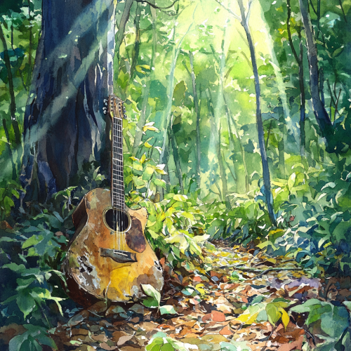
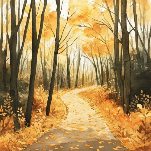
A minimalist watercolor painting, winding forest path covered with fallen leaves in yellow and orange, trees dense and magical, muted greens and soft browns, inspired by 'Dumbrava Minunată,' simple details, open spaces for economical printing, A4
White background, blue, forest with tall trees on the left side of the page, mountains in the distance, a deer standing at the top of a hill, in a simple watercolor style, with white space around the other elements, and a blue and gray gradient color scheme. --ar 3:2
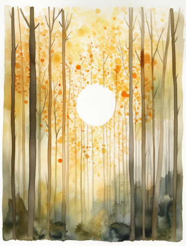
A minimalist watercolor painting, sunrise in an enchanted forest inspired by 'Dumbrava Minunată,' soft sun rays filtering through trees, warm and pastel tones with gentle oranges, pale yellows, and light browns, subtle green accents, airy and dreamy, simple details for economical printing, A4 format, high-quality, 300 DPI --ar 3:4 --v 5.0
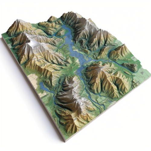
A detailed, illustrative map showing the northern part of denmark. Specificially from the tip ´Skagen to Limfjorden. In detail showing the location of Dronninglund Forest in Denmark, highlighting its proximity to major highways E45 and E39 and ferry connections. Mark the ferry routes from Norway to Hirtshals and from Sweden to Frederikshavn, with clear driving paths leading to Dronninglund. The map should include icons for key features: mountain biking trails in the forest, the nearby town of Dronninglund with symbols for shops selling biking gear, and various accommodation options like hotels. Emphasize the convenience and reduced travel time for Scandinavian visitors looking for a mountain biking adventure.

View Limit Reached
Upgrade for premium prompts, full browsing, unlimited bookmarks, and more.
Get Premium
Limit Reached
Upgrade for premium prompts, full browsing, unlimited bookmarks, and more. Create up to 2000 AI images and download up to 3000 monthly
Get Premium
Become a member
Sign up to download HD images, copy & bookmark prompts.
It's absolutely FREE
 Login or Signup with Google

Become a member
Sign up to download HD images, copy & bookmark prompts.
It's absolutely FREE
 Login or Signup with Google

Limit Reached
Upgrade for premium prompts, full browsing, unlimited bookmarks, and more.
Get Premium




 Download Image (SD)
 Download Image (HD)


