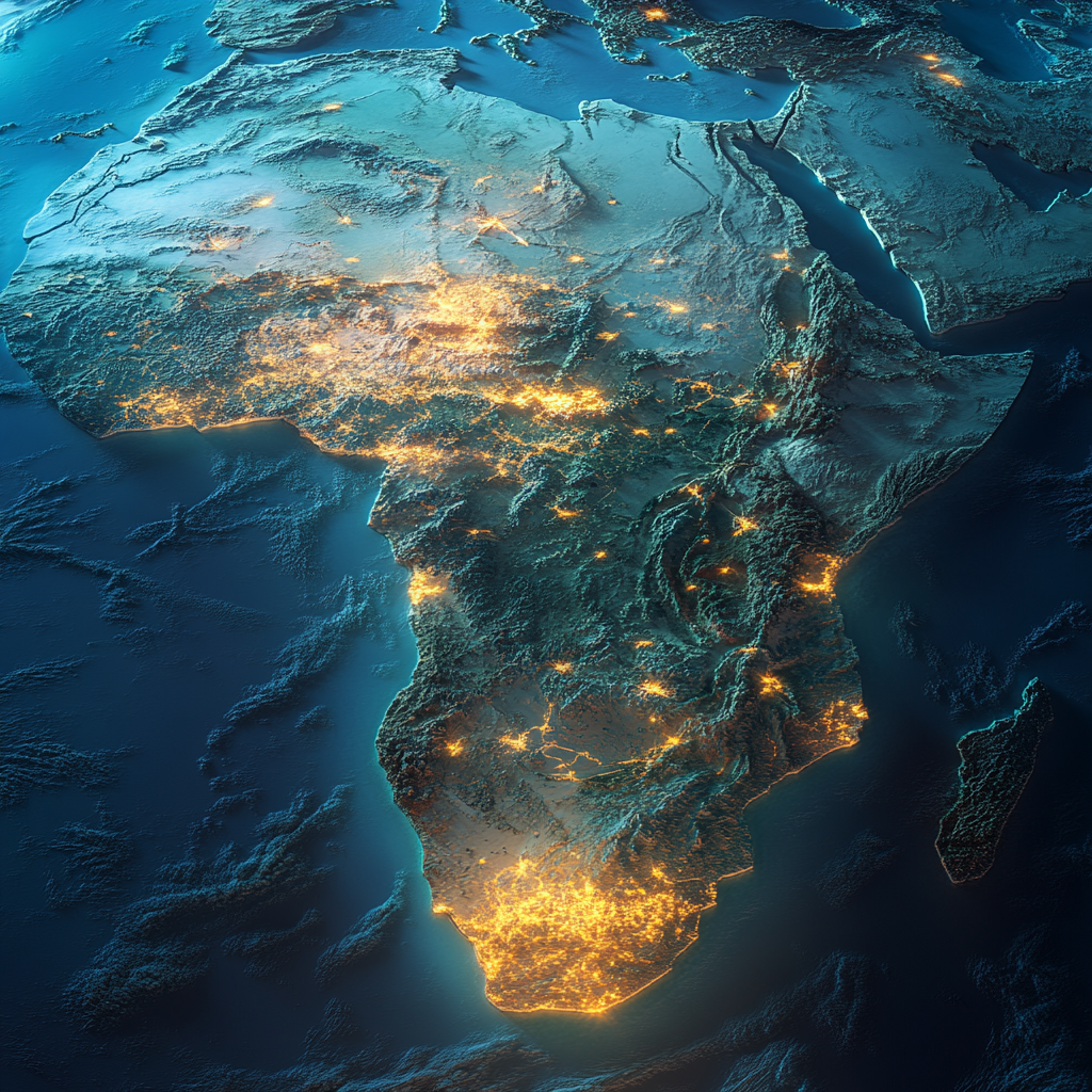
Detailed photo of Africa's topographic map, Tanzania highlighted.
License
Free to use with a link to 2moonsai.com
Similar Images
Evening football stadium in Tanzania, close-up view with floodlights shining at the edges, vibrant atmosphere, warm colors, detailed architecture --s 750
Ally Samatta in Tanzania national team jersey, expressing vibrant emotions, shouting passionately on the field, dynamic pose, colorful background, capturing the excitement of football --s 750
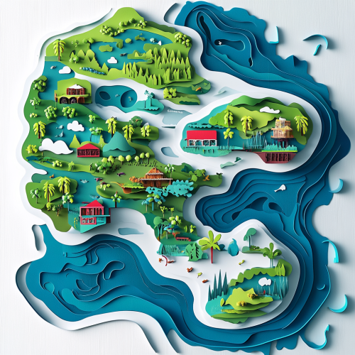
3D topographic map. puzzle for games. plot: downtown Tokyo. Primary colors of the image: blue, green, red, white, black. paper style cat. very detailed image, all the details are worked out. a little cartoon style. --v 6.1
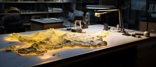
a workspace setup with a detailed topographic map spread on a table below. This scene emphasizes the interplay between temporal and spatial scales. Embedded within the map, place contrasting annotations or overlays: one zone showcasing averaged or 'lumped' data and another showing intricate, 'distributed' data points. --ar 21:9
#103472 map of Europe, mark Germany, mark Czech Republic, mark Poland, mark Romania --v 6.0 --ar 7:4
A stylized topographical map of a mountain range, with exaggerated elevations, colorful layers, and contour lines showing varying altitudes. The map has a modern, clean design, with a focus on terrain features and natural formations. Earthy tones, balanced lighting, crisp details. Created Using: topographic mapping techniques, digital art style, layered vector shapes, gradient shading, clean typography, precise linework, natural textures, cartographic accuracy, hd quality, natural look --ar 2:1 --v 6.0
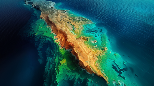
a highly detailed, cinematic photograph of the African continent's 3D map, with Tanzania bursting out of the surface, prominently centered and illuminated, while the surrounding countries subtly fade into the background, evoking a sense of depth and dimensionality, captured with a shallow depth of field
a highly detailed, cinematic photograph of the African continent's 3D topographic map, with Tanzania bursting out of the surface, prominently centered and illuminated, while the surrounding countries subtly fade into the background, evoking a sense of depth and dimensionality, captured with a shallow depth of field,
Africa from above equatorial jungles shrouded in mist, bordering the savanna --ar 16:9
low poly multicoloured map of Africa::5 3D, showing borders of each county, highly colourful, with terrain, --s 200 --v 5.2
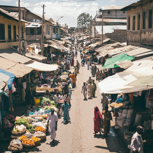
an empty busy narrow intersection street with people in a marketplace in Tanzania. It is an empty market street with people shopping. show lots of people in market and empty narrow road by the side

View Limit Reached
Upgrade for premium prompts, full browsing, unlimited bookmarks, and more.
Get Premium
Limit Reached
Upgrade for premium prompts, full browsing, unlimited bookmarks, and more. Create up to 2000 AI images and download up to 3000 monthly
Get Premium
Become a member
Sign up to download HD images, copy & bookmark prompts.
It's absolutely FREE
 Login or Signup with Google

Become a member
Sign up to download HD images, copy & bookmark prompts.
It's absolutely FREE
 Login or Signup with Google

Limit Reached
Upgrade for premium prompts, full browsing, unlimited bookmarks, and more.
Get Premium




 Download Image (SD)
 Download Image (HD)


