


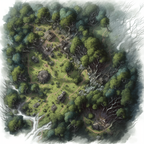
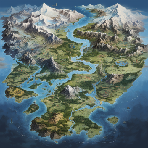
Map of Dronninglund Forest in Denmark


 Download Image (SD)
 Download Image (HD)
Share


License
Free to use with a link to 2moonsai.com

Similar Images


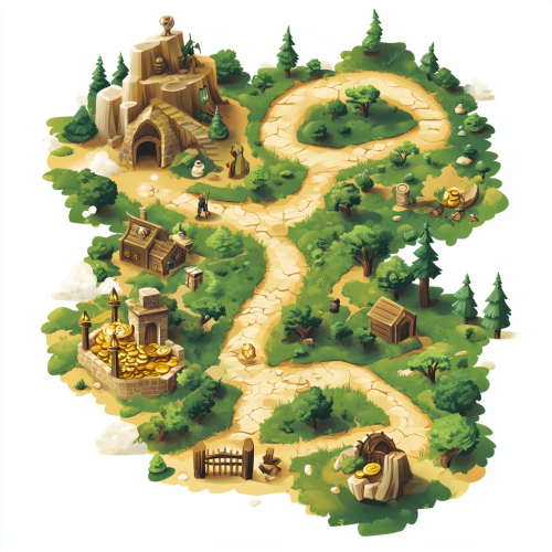
a stylized, easily readable isometric vector-style treasure map showing a route that travels through a forest with an wise old man, a village with a clerk, and a gate with a guard before arriving at the location of a glistening buried treasure


realistic satellite photos of routes between forests low gravity style optimistic minimal futuristic ecotopian solarpunk, full hd, luces cyberpunk, hiperdetalle, 8K, HD,high detailed --ar 16:9 --v 5.2

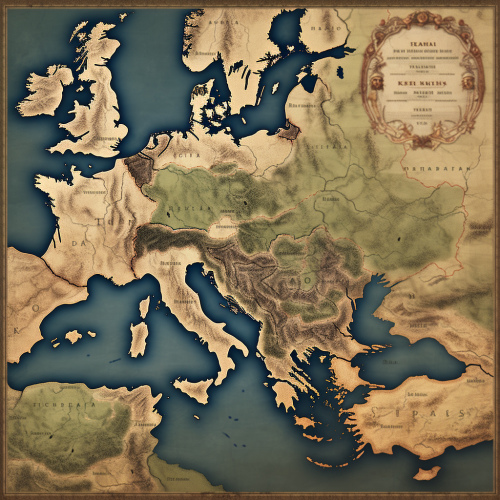
Create an ancient map depicting both explored and unexplored continents, detailed nautical routes, and antique ships navigating mysterious seas. Populate the map with various mythical sea creatures, including sea serpents, giant octopuses, and mermaids. Include ornate compass roses, medieval-style lettering, and intricate symbols representing cities, mountains, and forests. The map should have a worn, vintage parchment texture, with subtle color variations. Ultra-high quality with intricate details. --ar 1:1
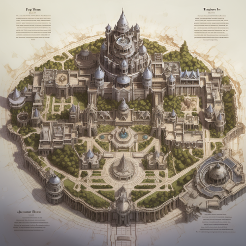
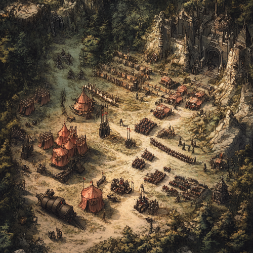
a dungeons and dragons playable map, of a large castle, inhabited by drow who worship lolth

A detailed, illustrative map showing the northern part of denmark. Specificially from the tip ´Skagen to Limfjorden. In detail showing the location of Dronninglund Forest in Denmark, highlighting its proximity to major highways E45 and E39 and ferry connections. Mark the ferry routes from Norway to Hirtshals and from Sweden to Frederikshavn, with clear driving paths leading to Dronninglund. The map should include icons for key features: mountain biking trails in the forest, the nearby town of Dronninglund with symbols for shops selling biking gear, and various accommodation options like hotels. Emphasize the convenience and reduced travel time for Scandinavian visitors looking for a mountain biking adventure.


Description: Chamran studies a large map on a table, surrounded by senior officers. His finger traces potential attack routes, showcasing his strategic mindset. Visual Details: Close-up on the map with annotations. The expressions of concentration and respect from the officers should be highlighted.

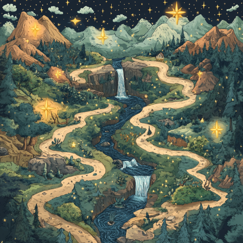
an learning journey visualised as a map with points along the way. the points are stars that are filled to indicate completion. the journey is set through a forest. The path does not cross each other. There are litter rivers, water falls, trees and mountains on the map.

View Limit Reached
Upgrade for premium prompts, full browsing, unlimited bookmarks, and more.
Get Premium
Limit Reached
Upgrade for premium prompts, full browsing, unlimited bookmarks, and more. Create up to 2000 AI images and download up to 3000 monthly
Get Premium
Become a member
Sign up to download HD images, copy & bookmark prompts.
It's absolutely FREE
 Login or Signup with Google
Become a member
Sign up to download HD images, copy & bookmark prompts.
It's absolutely FREE
Login or Signup with Google
Limit Reached
Upgrade for premium prompts, full browsing, unlimited bookmarks, and more.
Get Premium