


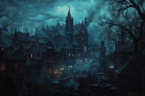
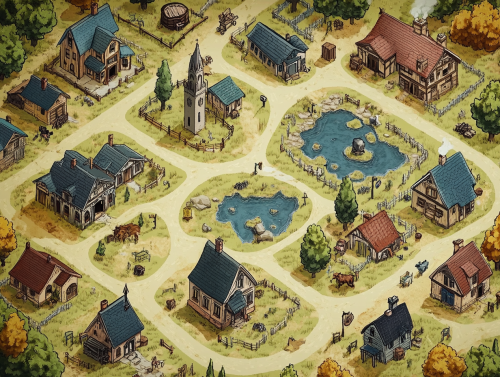
Detailed Evil Island Town Map
Prompt
symbol for a map representing a dark evil island town with crumbling houses and mansions on a transparent background + horror + art style of Capullo, Brom, Whelan, aly fell rutkowski, art germ, rossdraws, and franzzeta + art station + ultra detailed + hyper realistic + cinematic scene + 8k --v 6.0


 Download Image (SD)
 Download Image (HD)
Share


License
Free to use with a link to 2moonsai.com

Similar Images
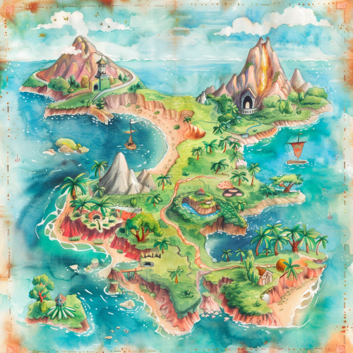
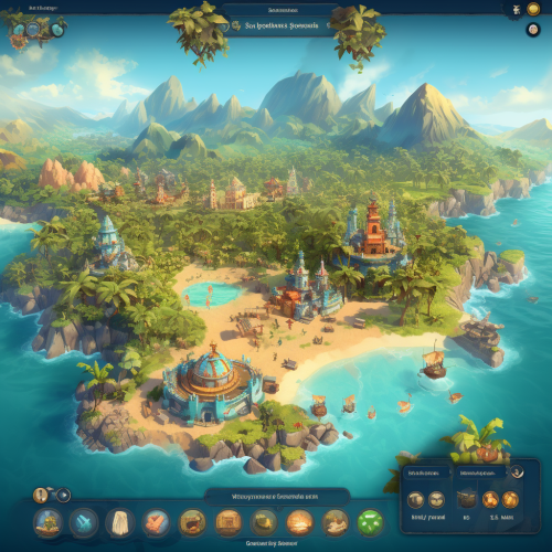
A watercolor map of a fantasy island, featuring lush jungles, active volcanoes, and hidden treasure spots, surrounded by a vast ocean. The map is colorful with flowing brushstrokes and delicate details. Soft pastels, gentle lighting, subtle shadows. Created Using: watercolor paints, fantasy art style, delicate brushes, organic forms, fluid color transitions, hand-painted texture, whimsical labels, natural topography, hd quality, natural look --ar 1:1 --v 6.0
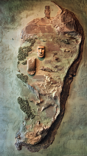
Photo: Map showing the terrain of the island and locations of the Moai statues Photo Description: The position of each statue suggests the location of resources, --ar 9:16

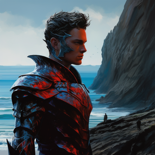
2 red big thorn sticking out from the sides of his hehlmet, a young handsome face Blue armored warrior is on a seacliff overseeing the island of dark evil

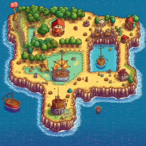
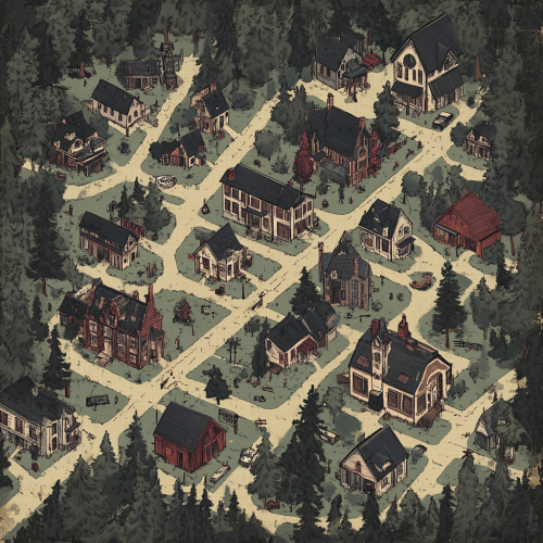
map of a human fantasy town view isometric , acrylic stylized painted


evil man in the sky, smiling in the shadow, woman silhouette on the island, night, weird fiction cover art
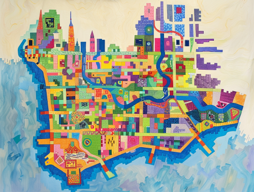
colorful geometric map of the island of manhattan --ar 4:3
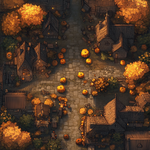
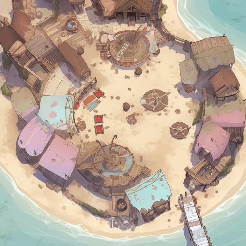
a top down dungeons and dragons battle map, the town square of a village, interesting streets, town hall, it is decorated with Jack o' lanterns and straw effigies, harvest festival, dungeons and dragons map

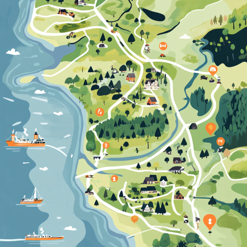
A detailed, illustrative map showing the northern part of denmark. Specificially from the tip ´Skagen to Limfjorden. In detail showing the location of Dronninglund Forest in Denmark, highlighting its proximity to major highways E45 and E39 and ferry connections. Mark the ferry routes from Norway to Hirtshals and from Sweden to Frederikshavn, with clear driving paths leading to Dronninglund. The map should include icons for key features: mountain biking trails in the forest, the nearby town of Dronninglund with symbols for shops selling biking gear, and various accommodation options like hotels. Emphasize the convenience and reduced travel time for Scandinavian visitors looking for a mountain biking adventure.
top view map of a western town, should include, bank, sallon, church, small pond, pig farm, graveyard and few normal houses, dungeon and dragons map for board game --ar 4:3

View Limit Reached
Upgrade for premium prompts, full browsing, unlimited bookmarks, and more.
Get Premium
Limit Reached
Upgrade for premium prompts, full browsing, unlimited bookmarks, and more. Create up to 2000 AI images and download up to 3000 monthly
Get Premium
Become a member
Sign up to download HD images, copy & bookmark prompts.
It's absolutely FREE
 Login or Signup with Google
Become a member
Sign up to download HD images, copy & bookmark prompts.
It's absolutely FREE
Login or Signup with Google
Limit Reached
Upgrade for premium prompts, full browsing, unlimited bookmarks, and more.
Get Premium