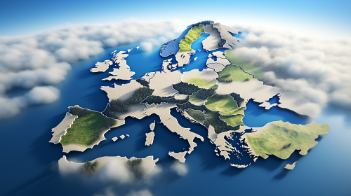
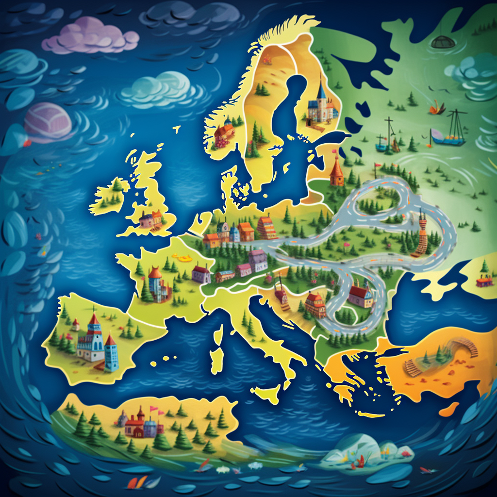
Bright Europe Map Illustration for Children
Prompt
License
Free to use with a link to 2moonsai.com
Similar Images
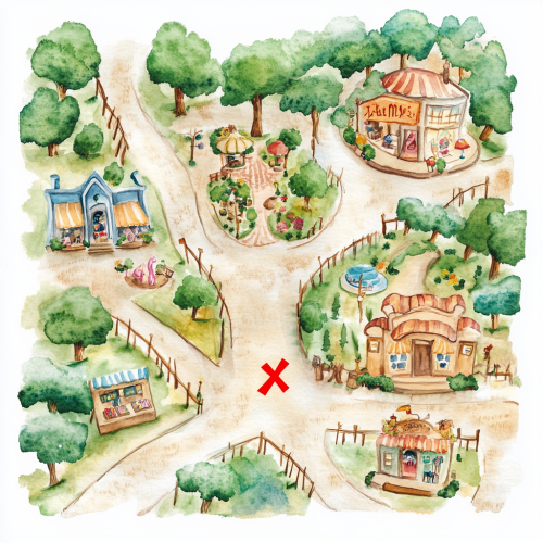
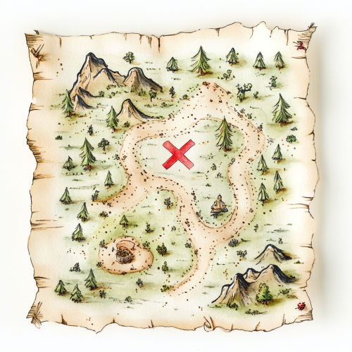
Create a front-facing watercolor illustration of a whimsical treasure map that blends elements of a shopping mall with a magical outdoor fairy tale setting. The map should feature charming, hand-drawn paths winding through both indoor and outdoor areas. Include small, playful icons representing shops, such as a toy store, a bookstore, and an ice cream stand, alongside enchanted elements like a hidden garden, a sparkling fountain, and a tiny magical forest. Add a large, playful red 'X' to mark the treasure spot. The edges of the map should be slightly frayed for a vintage feel, and the watercolor style should use soft, pastel tones with a mix of warm indoor and bright outdoor colors. Keep the background transparent or white to make the map easily editable and perfect for a children’s storybook or interactive adventure design.
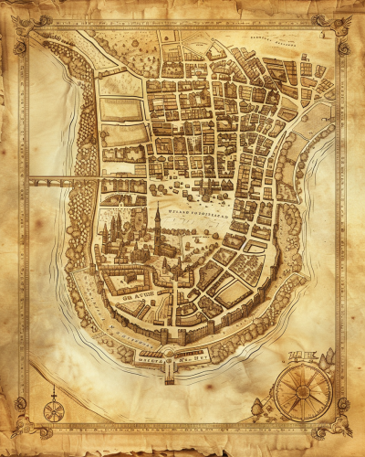
A historical map of an ancient city, with detailed street layouts, city walls, and landmarks. The map is drawn on parchment, with aged and weathered edges, featuring classical cartographic symbols. Sepia tones, warm lighting, subtle shadows. Created Using: hand-drawn illustration, classical cartography style, quill and ink, aged parchment texture, historical accuracy, intricate linework, antique borders, detailed legends, hd quality, natural look --ar 4:5 --v 6.0
logo features a modern and minimalist design with a stylized map of Europe at its center, symbolizing career aspirations. A dotted road emerges from the map, indicating the career journey, while an upward-pointing arrow signifies growth. HDR, 4k
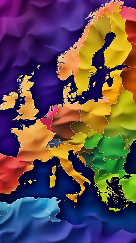
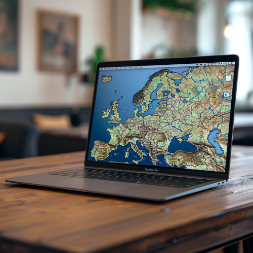
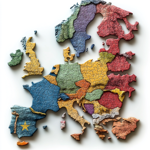
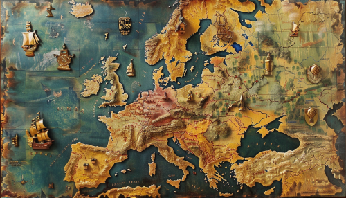
map of europe, every country on the map visible, every country has a different color, digital art, --ar 9:16
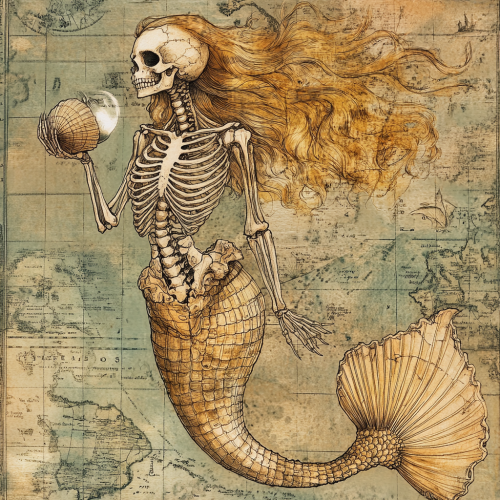
Half skeleton mermaid in her human part and normal mermaid tail, long hair, she holds a clam with a pearl in her hand, illustrated style like an old map
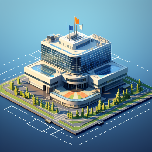
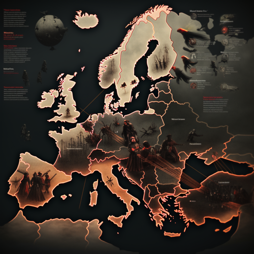
the europol headquarters building in The Hague floating on top of a map of Europe where the countries are connected by a network graph data visualization style. make the whole image 3d and use minimal design 8-bit pixel game design style. make it look like from an 8-bit pixel retro game and use cyberpunk coloring. Thank you.
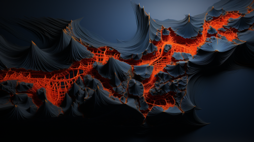
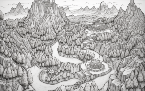
Detailed fantasy RPG game map of a world with 6 distinct kingdoms. Contains mountains, rivers, deserts and forests. Top-down illustration, in black ink on paper. --ar 16:10 --s 0 --no words, type, text, europe, earth
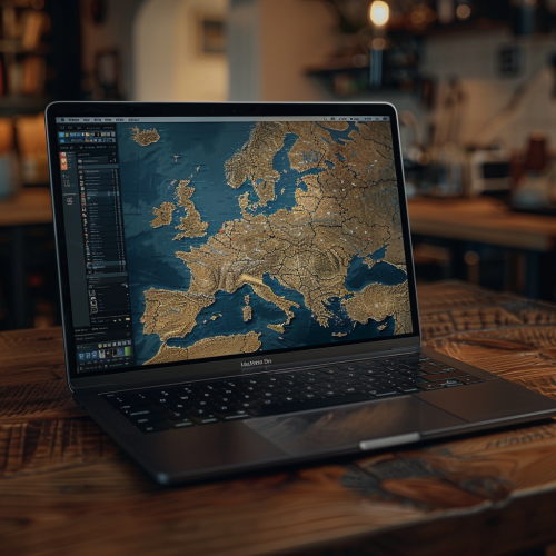
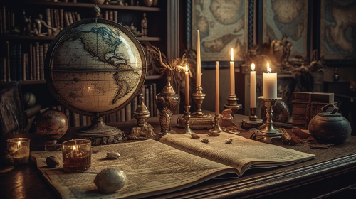
Historical map of 16th-century Europe, countries and major cities labeled in calligraphy, displayed on a grand library table with candles and an antique globe, atmosphere of intellectual curiosity and exploration, Illustration, digital art using a vintage color palette, --ar 16:9 --v 5.0 --s 750
Create a front-facing watercolor illustration of a simple, cute treasure map. The map should have a whimsical design with hand-drawn elements, like small winding paths, dotted lines, tiny trees, and mountains. In the center of the map, include a large, playful red 'X' marking the treasure spot. The edges of the map should be slightly uneven and frayed, giving it a charming, vintage feel. Use soft, pastel watercolor tones to add a light, inviting atmosphere. Keep the background transparent or white, with no additional elements, so the map is easy to overlay or edit in Photoshop
#103472 map of Europe, mark Germany, mark Czech Republic, mark Poland, mark Romania --v 6.0 --ar 7:4

View Limit Reached
Upgrade for premium prompts, full browsing, unlimited bookmarks, and more.
Get Premium
Limit Reached
Upgrade for premium prompts, full browsing, unlimited bookmarks, and more. Create up to 2000 AI images and download up to 3000 monthly
Get Premium
Become a member
Sign up to download HD images, copy & bookmark prompts.
It's absolutely FREE
 Login or Signup with Google

Become a member
Sign up to download HD images, copy & bookmark prompts.
It's absolutely FREE
 Login or Signup with Google

Limit Reached
Upgrade for premium prompts, full browsing, unlimited bookmarks, and more.
Get Premium




 Download Image (SD)
 Download Image (HD)


