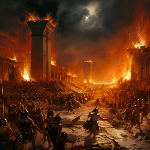
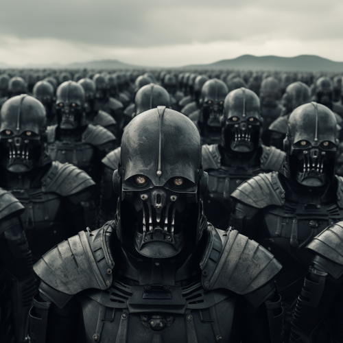
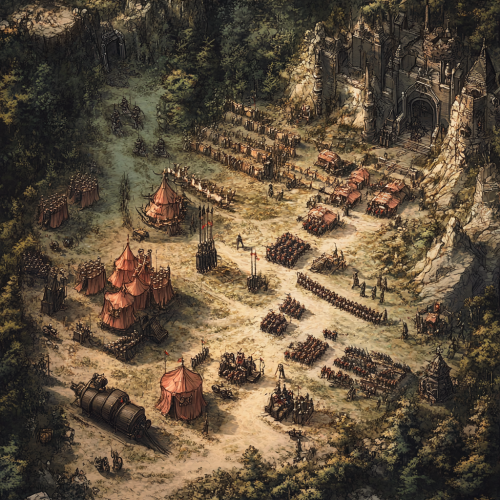
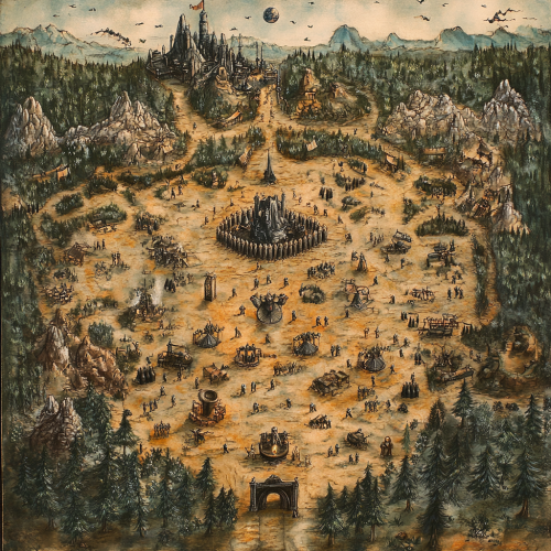
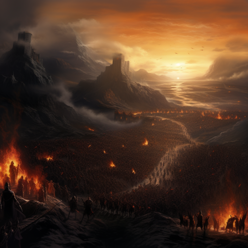
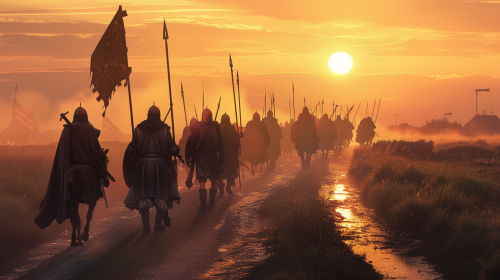
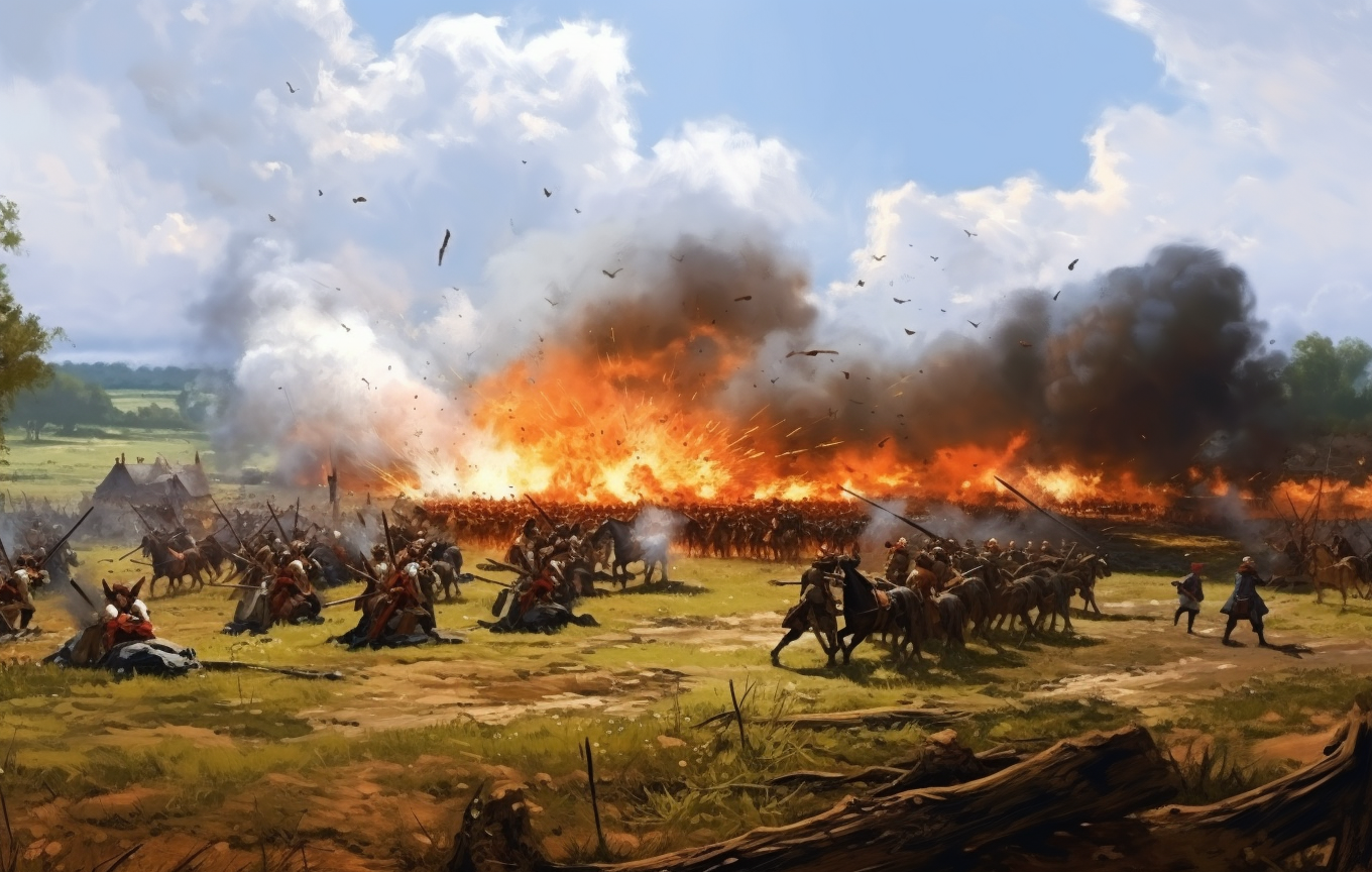
Historical battle ground army positions
Prompt
License
Free to use with a link to 2moonsai.com
Similar Images
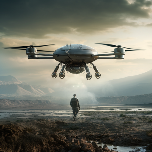
imagine an autonomous drone equipped with Ground penetrating radar and magnetometer, flying at near ground levels altitude to detect landmines and IED's for army and army following the drone
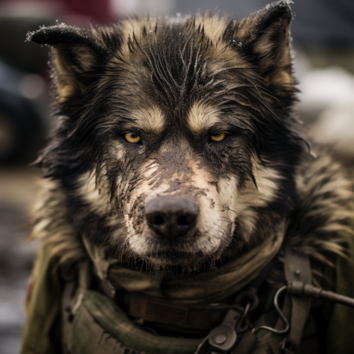
an Alaskan malamute , us army soldier hybrid, scarred and battle worn, evil looking,
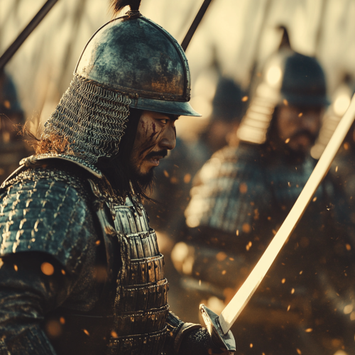
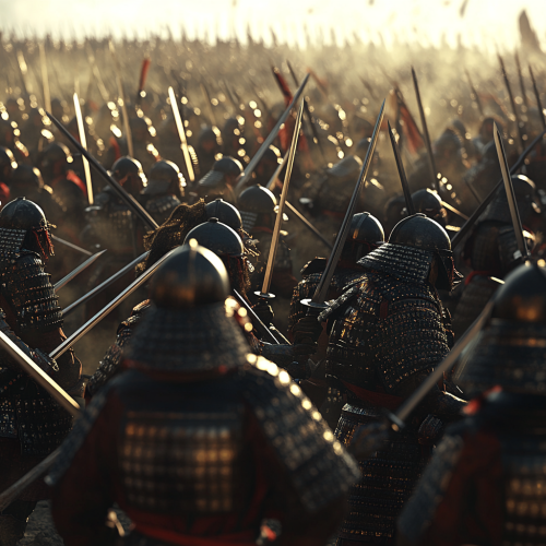
A resolute samurai army, standing against the Mongol invasions of the 13th century, swords flashing in the chaos of battle, iconic armor glinting in the sunlight. Hyper realistic. Photographic. UHD. Dramatic imagery. High contrast. Action shot. Candid 8K
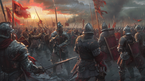
War in medieval times with two armies about to clash. The soldiers of the first army are on the left side of the battleground, they are wearing leather chest armor without helmet, they have no armor on their arms or legs, they are looking to the right side of the battleground. The soldiers of the second army are on the right side of the battleground, they are wearing full plate armor, they are looking to the left side of the battleground. On the top left there is a red sun shining the left half of the battleground. On the top right there are thunder clouds with an heavy rain which falls on the right half of the battleground. The armies are not in melee range. --ar 16:9
giants breads army in devilcostume, bad head, coocking tools in back ground, dark back ground, realistic
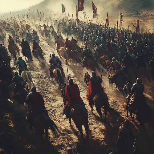
a large samurai army, standing against the Mongol invasions of the 13th century, swords flashing in the chaos of battle, iconic armor glinting in the sunlight. Hyper realistic. Photographic. UHD. Dramatic imagery. High contrast. Action shot. Candid 8K

View Limit Reached
Upgrade for premium prompts, full browsing, unlimited bookmarks, and more.
Get Premium
Limit Reached
Upgrade for premium prompts, full browsing, unlimited bookmarks, and more. Create up to 2000 AI images and download up to 3000 monthly
Get Premium
Become a member
Sign up to download HD images, copy & bookmark prompts.
It's absolutely FREE
 Login or Signup with Google

Become a member
Sign up to download HD images, copy & bookmark prompts.
It's absolutely FREE
 Login or Signup with Google

Limit Reached
Upgrade for premium prompts, full browsing, unlimited bookmarks, and more.
Get Premium




 Download Image (SD)
 Download Image (HD)


