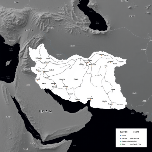
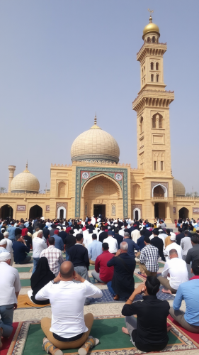
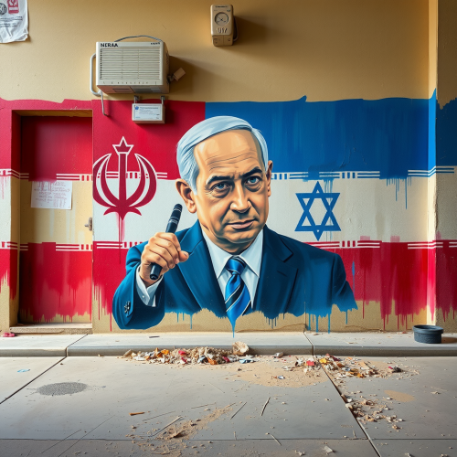
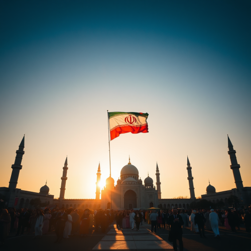
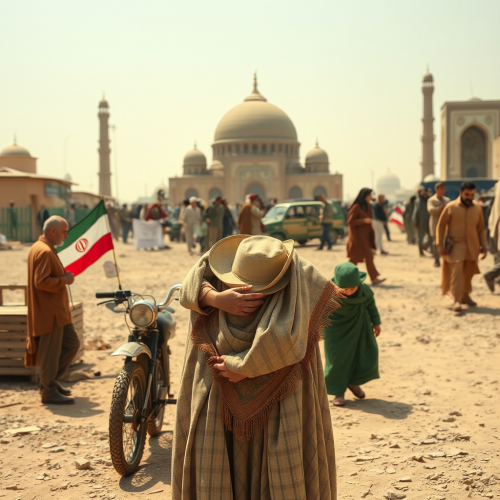
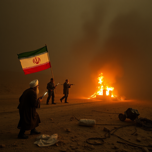
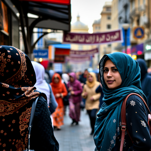
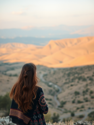
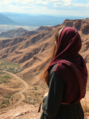
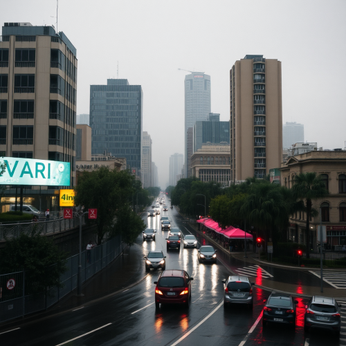
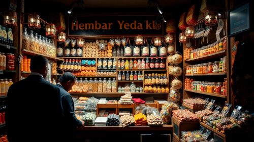
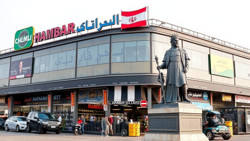
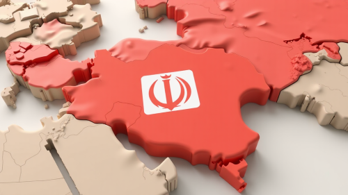
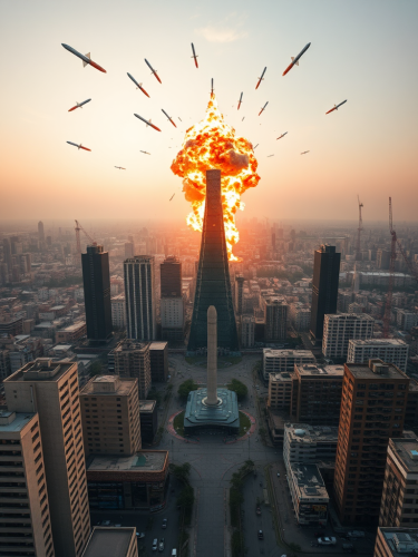
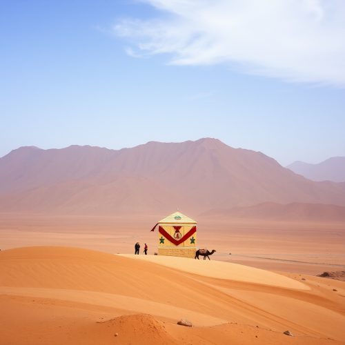
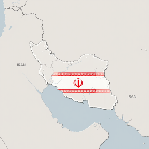
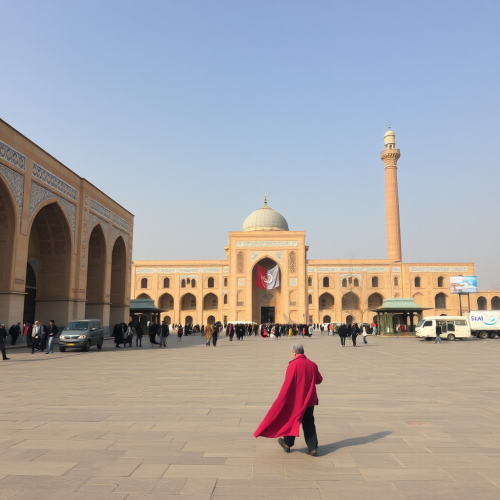
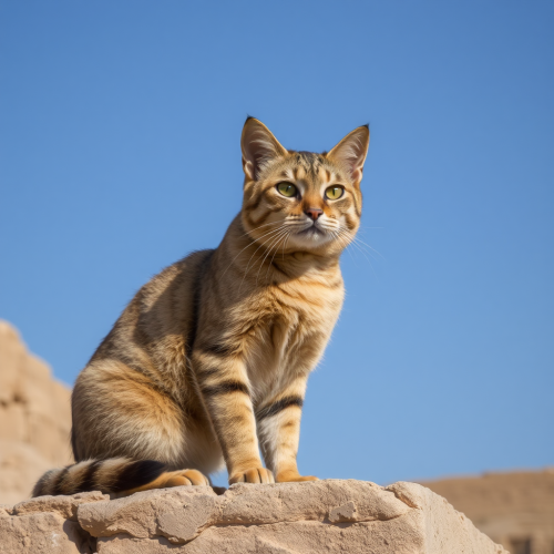
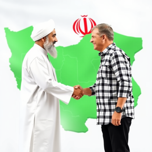
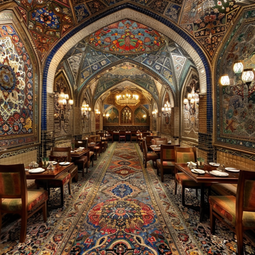
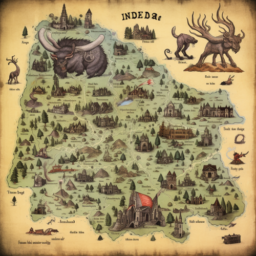
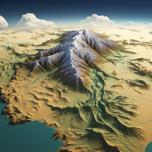
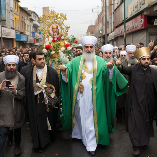
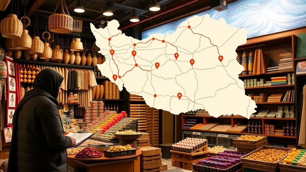
Map of Shopkeepers in Iran Online
Prompt
2Moons Basic
26/10/2024
Landscape 16:9
License
Free to use with a link to 2moonsai.com
Prompt Ideas
Create better AI images using our prompt ideas section
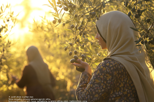
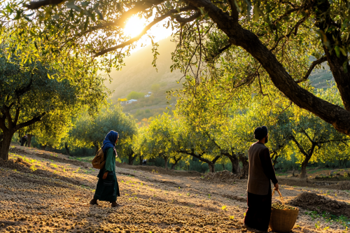
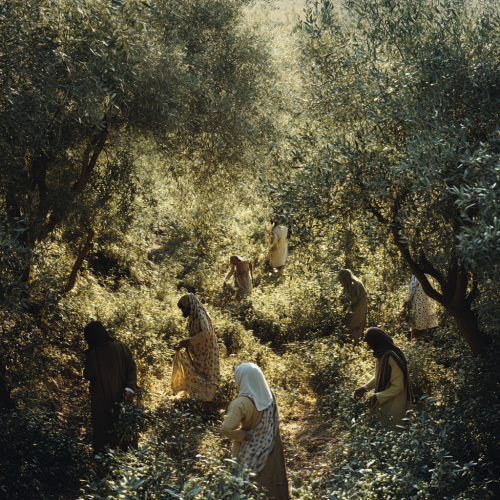
"A sunlit olive grove in northern Iran during harvest season, with Iranian men and women gathering olives in a serene, cinematic setting. Women wear light, culturally appropriate headscarves and long, loose clothing in soft, earth-tone colors,, traditional yet modernized work attire with rolled sleeves. The sunlight filters through olive branches, casting warm shadows across their faces and hands. Focus on the gentle act of plucking olives, with close-up shots capturing the natural textures of the olives and leaves. The scene feels harmonious and authentic, emphasizing tradition, quality, and community." --ar 3:2 --v 6.1
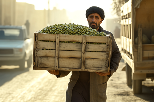
"Hyper-realistic mid-shot of a male worker carrying a large, rustic wooden crate filled with small green olives toward a truck. The crate is sturdy with a rough finish, reflecting traditional Iranian craftsmanship. The worker, dressed in traditional attire without a hat, exhibits a focused expression as he moves, ensuring the crate is balanced. The warm sunlight enhances the cinematic atmosphere, with soft shadows highlighting the contours of the crate and the worker's figure. The motion of carrying allows for fluid animation, emphasizing natural body movement. --ar 3:2 --v 6.1
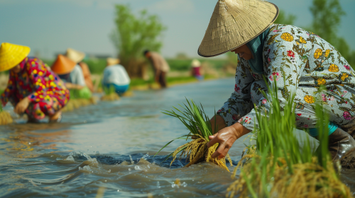
Many people in Iran wear printed and colorful outfit with straw hat, wearing leather shoes on their feet to plant rice seedlings by the river. The scene is captured in wide-angle, high-definition photography, with a documentary-style approach. They are planting rice seedlings. - Image #3 in the scene, 4K resolution --ar 16:9 --v 6.0
A dark, tense interrogation room in Iran, with a shadowy anonymous figure sitting at the table, their hands in handcuffs, illuminated by a single, harsh overhead light. An IRGC officer in military uniform is aggressively leaning forward, shouting in the face of the seated person, one hand slamming down on the table, the other pointing at them. The officer’s expression is furious, eyes wide with intensity, creating a terrifying and intimidating presence. The room is stark, cold, and minimalist, with concrete walls. High contrast lighting, cinematic tension, and a moody atmosphere, capturing the fear and intensity of the interrogation.
A panoramic view of lush olive groves in northern Iran, with sunlight filtering through the leaves, casting soft shadows on the ground. Local farmers, dressed in modern yet traditional clothing, are harvesting olives. The atmosphere is vibrant and serene, capturing the essence of a healthy, natural environment. The scene emphasizes the beauty of the landscape and the care taken in olive cultivation. --ar 3:2 --style raw --v 6.1 --personalize 15fzvat
A panoramic view of lush olive groves in northern Iran,in Style of v magazin photo with sunlight filtering through the leaves, casting soft shadows on the ground. Local farmers, dressed in modern yet traditional clothing, are harvesting olives. The atmosphere is vibrant and serene, capturing the essence of a healthy, natural environment. The scene emphasizes the beauty of the landscape and the care taken in olive cultivation.
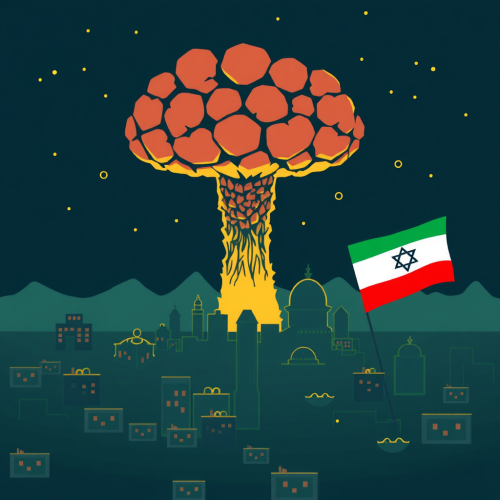
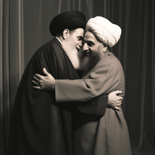
catholic uprising in Israel launching Saint Patrick liberating Muslims in Iran
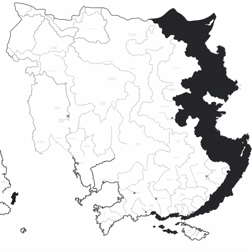
Generate a black and white line drawing map of India with the following specifications: The map should clearly demarcate the following four regions with distinct borders: Himalayan Heights: Encompassing the Himalayas, the valleys of Kashmir, the plains of Punjab and Uttar Pradesh, and extending into parts of Nepal and Bhutan. Desert Dynasties: Covering the Thar Desert, Rajasthan, and Gujarat, and extending into parts of Pakistan's Sindh region. Dravidian Depths: Including Tamil Nadu, Kerala, Karnataka, Andhra Pradesh, and extending into parts of Sri Lanka. Bengali Bays: Covering West Bengal, Odisha, the northeastern states, and incorporating parts of Bangladesh and Myanmar. The map should also display significant landmarks like the Himalayas, Thar Desert, Western Ghats, and the Bay of Bengal.
A white vector city map in gray shades, tilted in perspective and a layer of blue dotted mesh of dots hovering above it
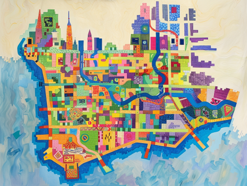
colorful geometric map of the island of manhattan --ar 4:3
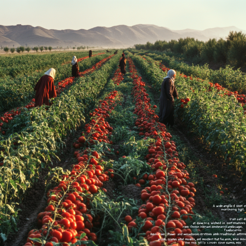
"A wide-angle shot of a lush tomato field in northern Iran at dawn, bathed in soft morning light. Rows of ripe, vibrant red tomatoes stretch across the landscape. Farmers, all wearing traditional headscarves and modest attire that fully cover the arms, move through the field with care, creating a serene, culturally resonant scene."
Many people in Iran wear printed and colorful outfit with straw hat (not be chines, just ordinary one), wearing leather shoes on their feet to plant rice seedlings by the river. The scene is captured in wide-angle, high-definition photography, with a documentary-style approach. They are planting rice seedlings. - Image #3, loose design sketch in the scene, 4K resolution --ar 16:9 --v 6.0

View Limit Reached
Upgrade for premium prompts, full browsing, unlimited bookmarks, and more.
Get Premium
Limit Reached
Upgrade for premium prompts, full browsing, unlimited bookmarks, and more. Create up to 2000 AI images and download up to 3000 monthly
Get Premium
Become a member
Sign up to download HD images, copy & bookmark prompts.
It's absolutely FREE
 Login or Signup with Google

Become a member
Sign up to download HD images, copy & bookmark prompts.
It's absolutely FREE
 Login or Signup with Google

Limit Reached
Upgrade for premium prompts, full browsing, unlimited bookmarks, and more.
Get Premium




 Download Image (SD)
 Download Image (HD)


