


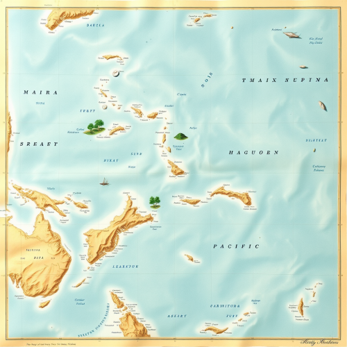
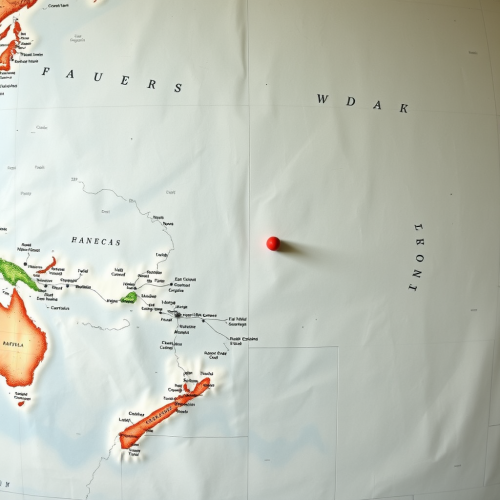
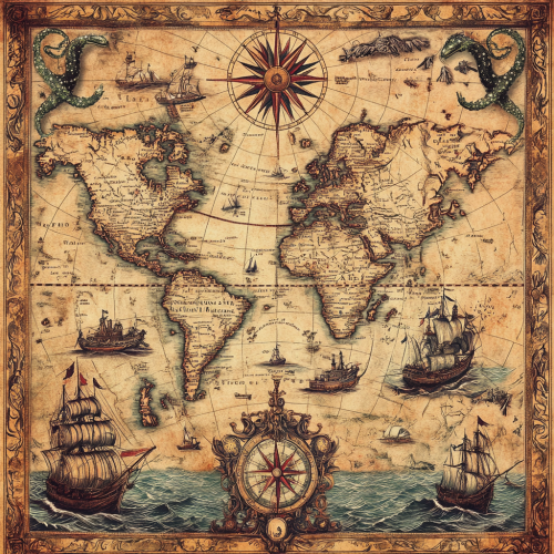
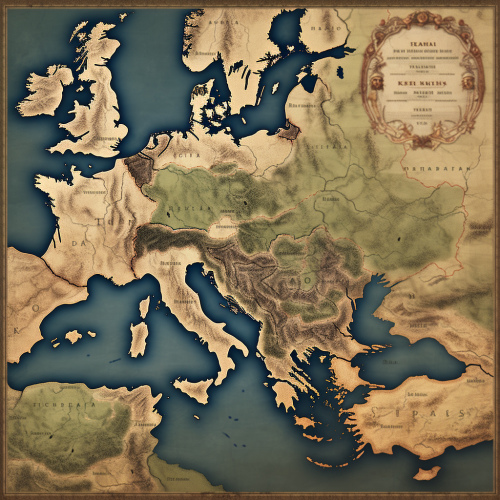
A Vintage Map with Ancient Nautical Routes
Prompt
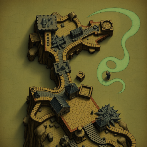
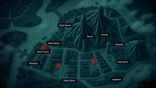
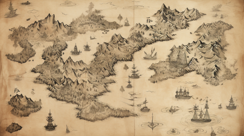
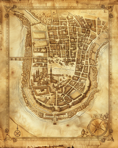
Create an ancient map depicting both explored and unexplored continents, detailed nautical routes, and antique ships navigating mysterious seas. Include ornate compass roses, medieval-style lettering, and intricate symbols representing cities, mountains, and forests. The map should have a worn, vintage parchment texture, with subtle color variations. Ultra-high quality with intricate details. --ar 1:1


 Download Image (SD)
 Download Image (HD)

Руслан Гайнутдинов
2Moons Basic
23/03/2025
Landscape 16:9
Share


License
Free to use with a link to 2moonsai.com

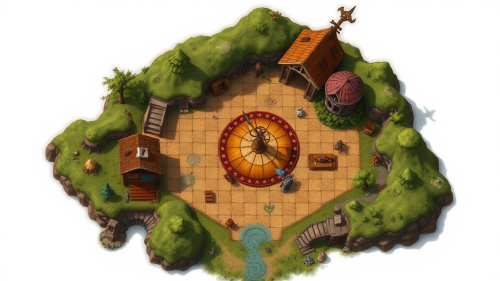
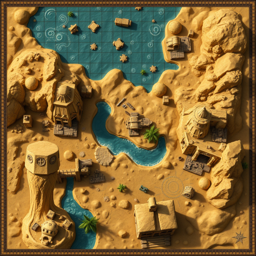
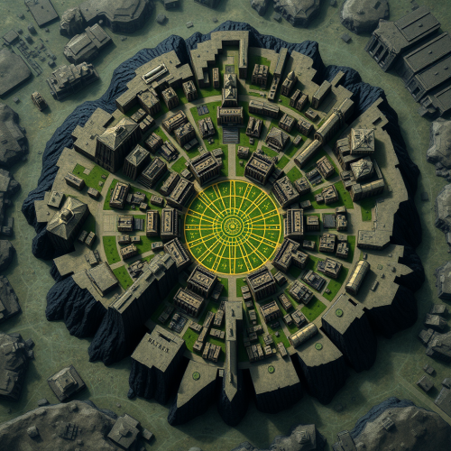
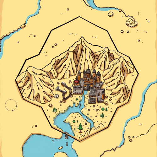
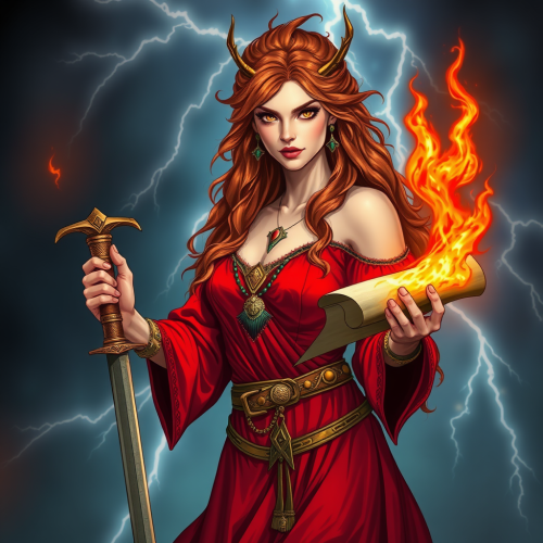
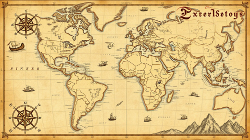
Similar images by community


Prompt Ideas
Create better AI images using our prompt ideas section
Create an ancient map depicting both explored and unexplored continents, detailed nautical routes, and antique ships navigating mysterious seas. Populate the map with various mythical sea creatures, including sea serpents, giant octopuses, and mermaids. Include ornate compass roses, medieval-style lettering, and intricate symbols representing cities, mountains, and forests. The map should have a worn, vintage parchment texture, with subtle color variations. Ultra-high quality with intricate details. --ar 1:1
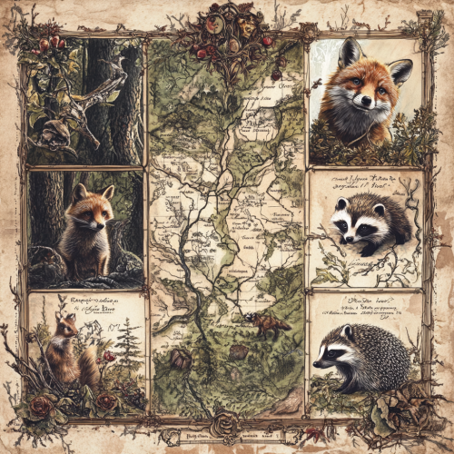
Worn victorian botanical illustration of a map of an ancient and magical woodland In each corner there is an illustration of a fox, badger, raccoon and hedgehog.
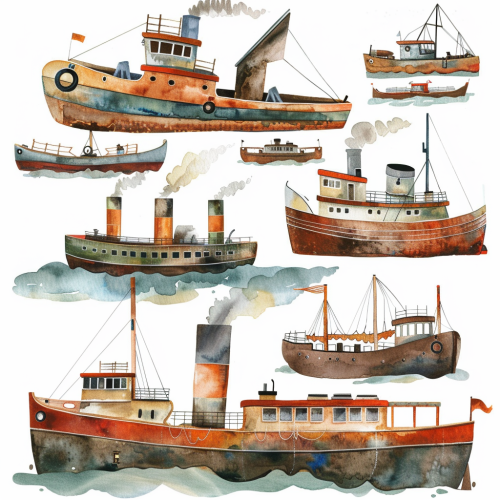
clipart set, evenly spaced, white background, watercolor, steam boats
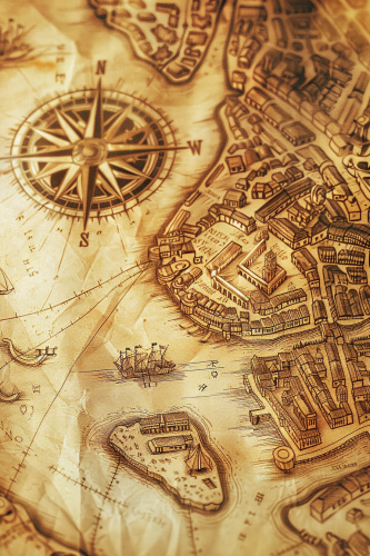
A stylized map of an ancient city, hand-drawn on aged parchment. The map includes winding rivers, narrow streets, and historic buildings, with an ornate compass in the corner. Sepia tones, soft light, subtle shadows. Created using: hand-drawing, Renaissance cartography style, aged paper texture, precise details, vintage iconography, historical accuracy, hd quality, natural look --ar 2:3 --v 6.0

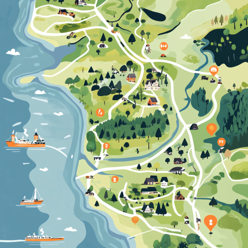
A detailed, illustrative map showing the northern part of denmark. Specificially from the tip ´Skagen to Limfjorden. In detail showing the location of Dronninglund Forest in Denmark, highlighting its proximity to major highways E45 and E39 and ferry connections. Mark the ferry routes from Norway to Hirtshals and from Sweden to Frederikshavn, with clear driving paths leading to Dronninglund. The map should include icons for key features: mountain biking trails in the forest, the nearby town of Dronninglund with symbols for shops selling biking gear, and various accommodation options like hotels. Emphasize the convenience and reduced travel time for Scandinavian visitors looking for a mountain biking adventure.

Description: Chamran studies a large map on a table, surrounded by senior officers. His finger traces potential attack routes, showcasing his strategic mindset. Visual Details: Close-up on the map with annotations. The expressions of concentration and respect from the officers should be highlighted.
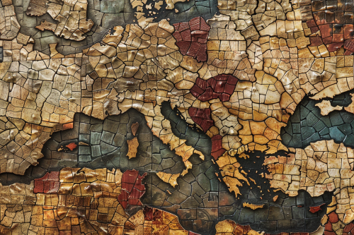
A mosaic map of a historical empire, with tiny, colorful tiles forming the shapes of territories, cities, and landmarks. The map has an ancient, handcrafted feel, with uneven textures and a weathered appearance. Earthy tones, natural lighting, subtle shadows. Created Using: mosaic art style, ancient map design, hand-placed tiles, uneven textures, earthy color palette, historical accuracy, antique finish, handcrafted appearance, hd quality, natural look --ar 3:2 --v 6.0
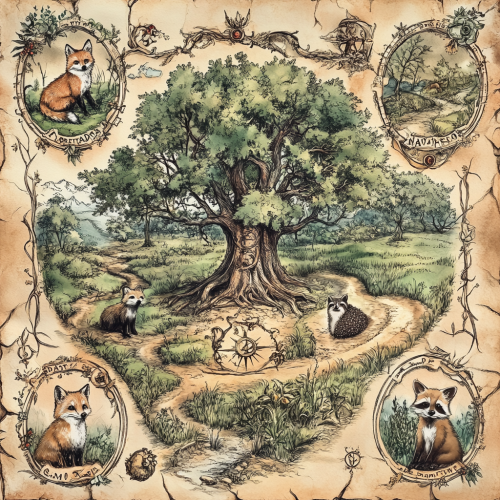
weathered victorian botanical illustration of a map of an ancient and magical woodland, in each corner there is an illustration of a fox, badger, raccoon and hedgehog. In the centre of the map is an ancient tree with magical symbols all around it


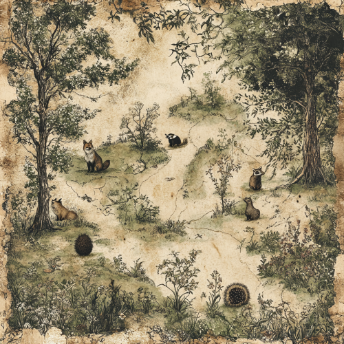
weathered victorian botanical illustration of a map of an ancient and magical woodland, in each corner there is an illustration of a fox, badger, raccoon and hedgehog
A historical map of an ancient city, with detailed street layouts, city walls, and landmarks. The map is drawn on parchment, with aged and weathered edges, featuring classical cartographic symbols. Sepia tones, warm lighting, subtle shadows. Created Using: hand-drawn illustration, classical cartography style, quill and ink, aged parchment texture, historical accuracy, intricate linework, antique borders, detailed legends, hd quality, natural look --ar 4:5 --v 6.0

View Limit Reached
Upgrade for premium prompts, full browsing, unlimited bookmarks, and more.
Get Premium
Limit Reached
Upgrade for premium prompts, full browsing, unlimited bookmarks, and more. Create up to 2000 AI images and download up to 3000 monthly
Get Premium
Become a member
Sign up to download HD images, copy & bookmark prompts.
It's absolutely FREE
 Login or Signup with Google
Become a member
Sign up to download HD images, copy & bookmark prompts.
It's absolutely FREE
Login or Signup with Google
Limit Reached
Upgrade for premium prompts, full browsing, unlimited bookmarks, and more.
Get Premium