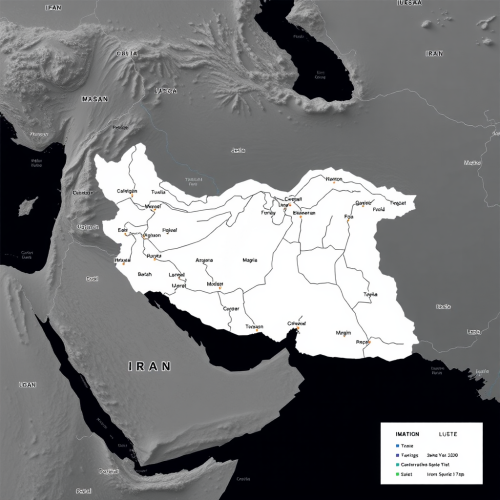
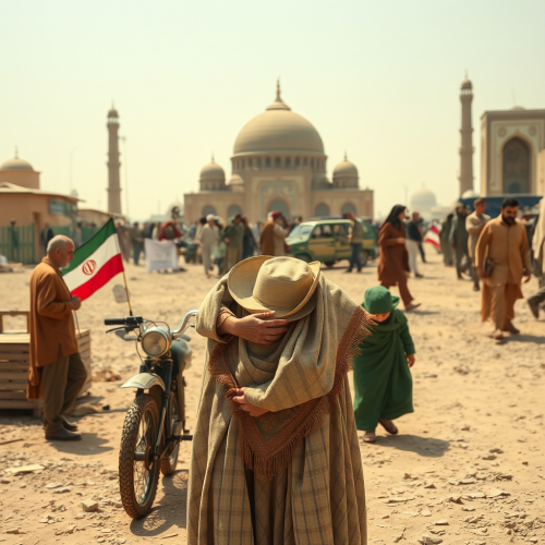
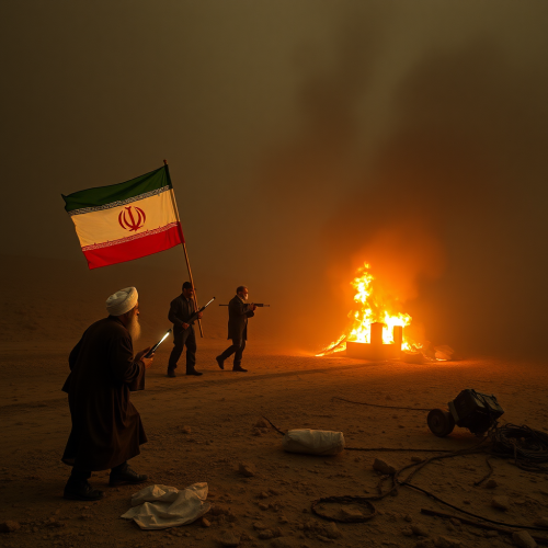
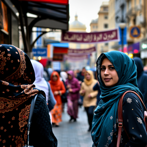
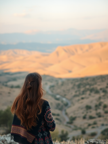
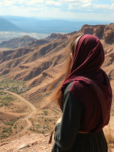
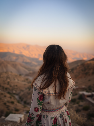
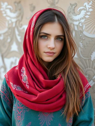
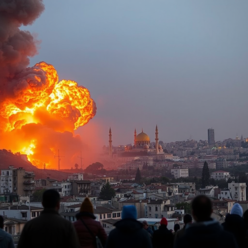
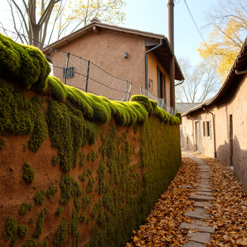
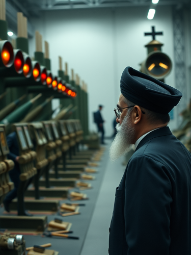
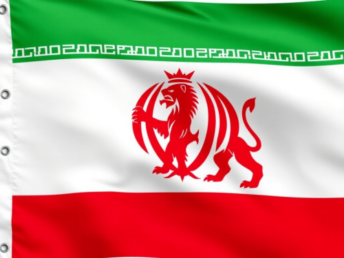
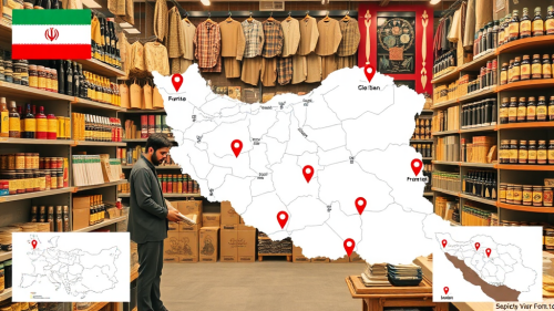
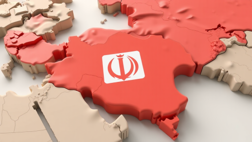
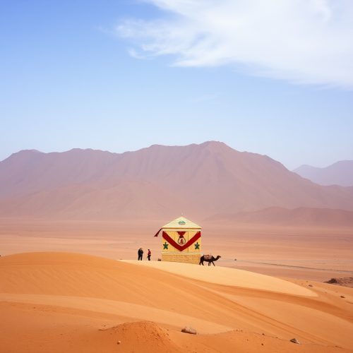
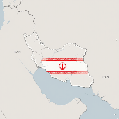
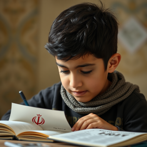
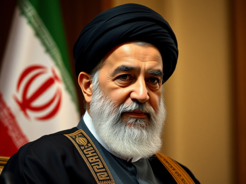
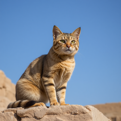
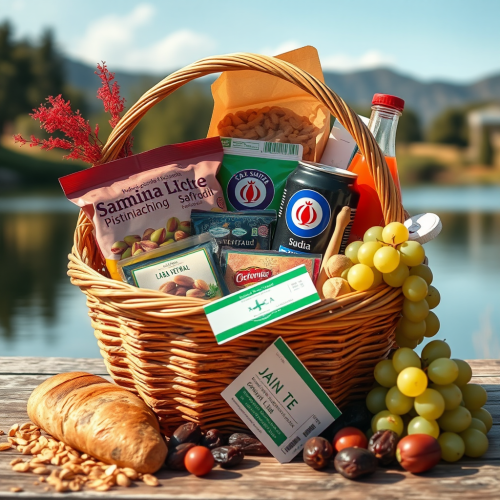
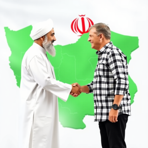
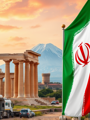
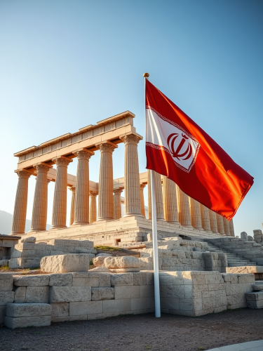
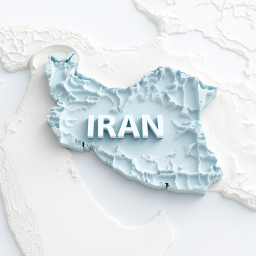
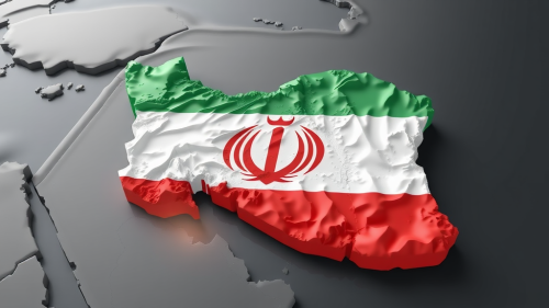
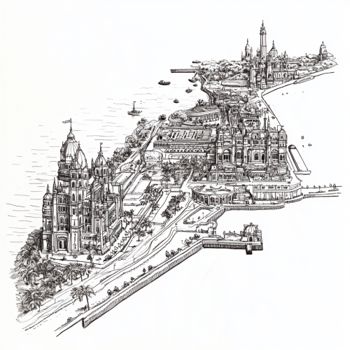
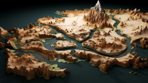
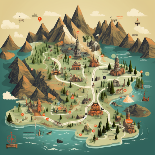
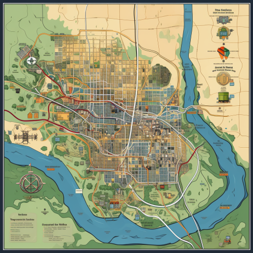
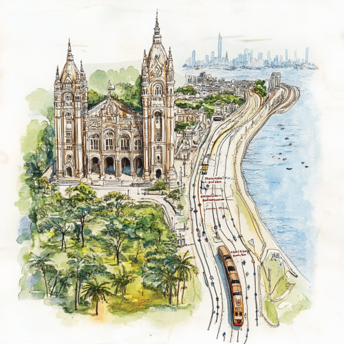
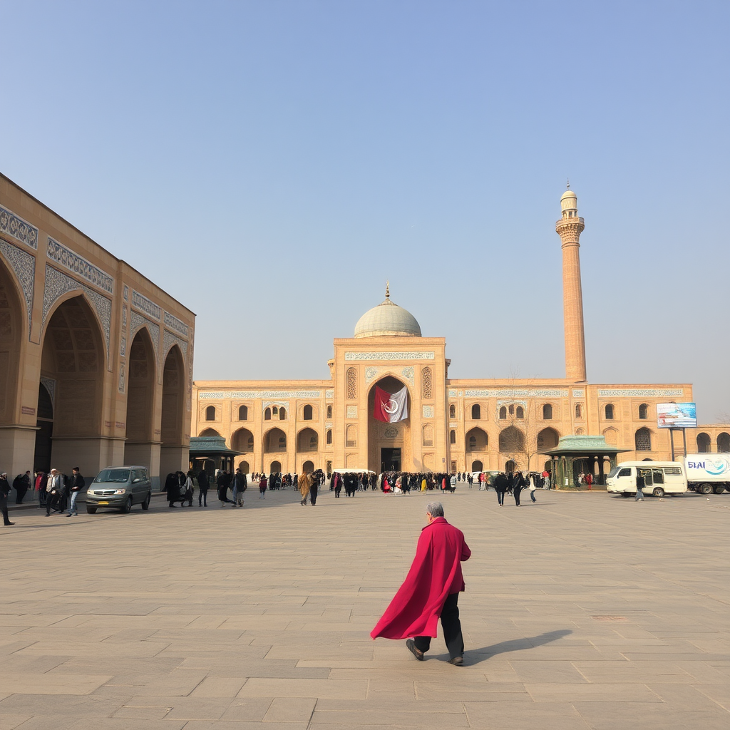
A colorful map of Iran with landmarks displayed.
Prompt
2Moons Basic
27/10/2024
Square 1:1
License
Free to use with a link to 2moonsai.com
Prompt Ideas
Create better AI images using our prompt ideas section
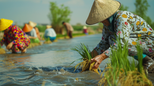
Many people in Iran wear printed and colorful outfit with straw hat (not be chines, just ordinary one), wearing leather shoes on their feet to plant rice seedlings by the river. The scene is captured in wide-angle, high-definition photography, with a documentary-style approach. They are planting rice seedlings. - Image #3, loose design sketch in the scene, 4K resolution --ar 16:9 --v 6.0
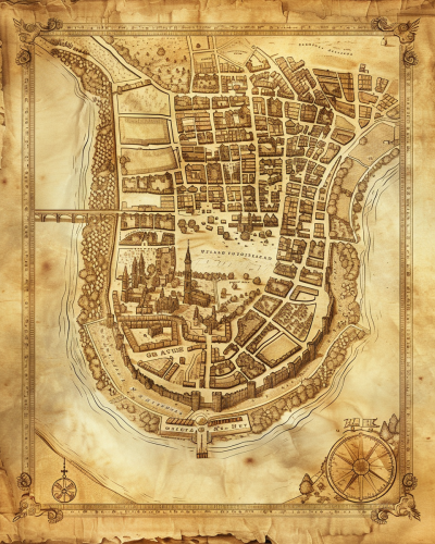
A historical map of an ancient city, with detailed street layouts, city walls, and landmarks. The map is drawn on parchment, with aged and weathered edges, featuring classical cartographic symbols. Sepia tones, warm lighting, subtle shadows. Created Using: hand-drawn illustration, classical cartography style, quill and ink, aged parchment texture, historical accuracy, intricate linework, antique borders, detailed legends, hd quality, natural look --ar 4:5 --v 6.0
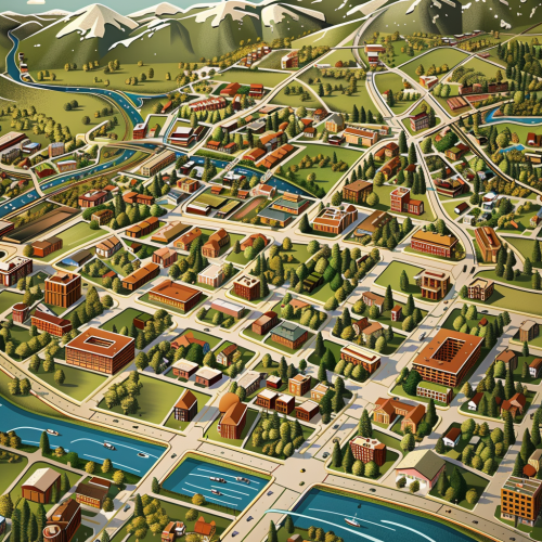
creative 3d vector art map of fort collins, Colorado
Many people in Iran wear printed and colorful outfit with straw hat, wearing leather shoes on their feet to plant rice seedlings by the river. The scene is captured in wide-angle, high-definition photography, with a documentary-style approach. They are planting rice seedlings. - Image #3 in the scene, 4K resolution --ar 16:9 --v 6.0
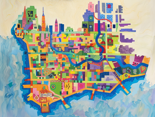
colorful geometric map of the island of manhattan --ar 4:3
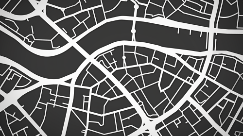
A white vector city map in gray shades, tilted in perspective and a layer of blue dotted mesh of dots hovering above it
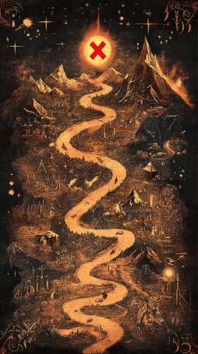
Design a magical, ancient map in portrait orientation, in the style of Disney, showing the path of a completed quest. The map should be richly detailed, with a winding trail marked by a bright red or gold X at the final destination. Along the path, small, charming illustrations of obstacles and landmarks encountered during the journey should be included, like enchanted forests, mountains, or mythical creatures. The map is surrounded by decorative elements, like glowing runes and whimsical borders, with a warm, golden light illuminating the final destination, symbolizing the quest’s successful completion. --ar 9:16
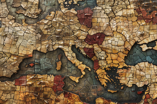
A mosaic map of a historical empire, with tiny, colorful tiles forming the shapes of territories, cities, and landmarks. The map has an ancient, handcrafted feel, with uneven textures and a weathered appearance. Earthy tones, natural lighting, subtle shadows. Created Using: mosaic art style, ancient map design, hand-placed tiles, uneven textures, earthy color palette, historical accuracy, antique finish, handcrafted appearance, hd quality, natural look --ar 3:2 --v 6.0
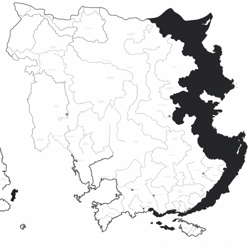
Generate a black and white line drawing map of India with the following specifications: The map should clearly demarcate the following four regions with distinct borders: Himalayan Heights: Encompassing the Himalayas, the valleys of Kashmir, the plains of Punjab and Uttar Pradesh, and extending into parts of Nepal and Bhutan. Desert Dynasties: Covering the Thar Desert, Rajasthan, and Gujarat, and extending into parts of Pakistan's Sindh region. Dravidian Depths: Including Tamil Nadu, Kerala, Karnataka, Andhra Pradesh, and extending into parts of Sri Lanka. Bengali Bays: Covering West Bengal, Odisha, the northeastern states, and incorporating parts of Bangladesh and Myanmar. The map should also display significant landmarks like the Himalayas, Thar Desert, Western Ghats, and the Bay of Bengal.
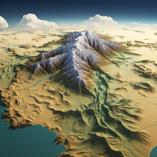
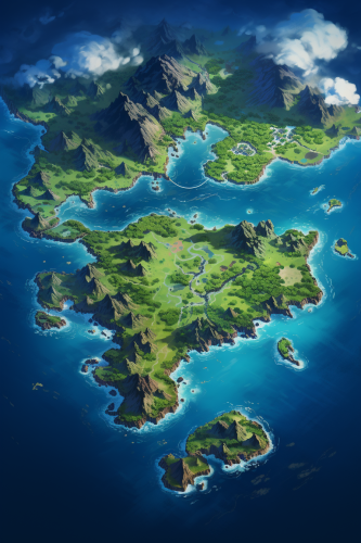
A flat 2d satellite map of a massive pacific territory spanning hundreds of square miles with multiple tropical islands, two of the islands being much larger than the others, the map should show topology, natural landmarks, and city ruins, the map should have no lettering --ar 4:6
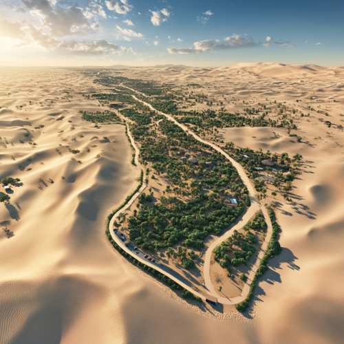
create me a route map in the Abu Dhabi desert, with the route showing: Al Sila, Barakah Nuclear Power Plant, Al Ruwais Refinery, Ghiyathi, Woteed water well, Umm Hosn Fort, Al Nashnash, Qasr al Sarab Desert Resort by Antatara, Al Dhafra Fort, Al Marzoom hunting reserve, Al Quaa Milky Way Spot, Al Qou end of ADR start of AA region, Al wiqan, Al 'Arad, Bu Kirayyah, Al Dhahrah, Mbazzarah Al Khadra, Jebel Hafit Tombs, Mezyad fort, Al Ain Oasis, Al Jahill Fort, Al Jimi Oasis, Bait Mohammed Bin Khalifa, Al Ankah Fort, Sheikh Zayad Festival. sunny, heat, real, realistic.
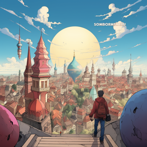
A cartoonish collage-style cover featuring iconic landmarks, with a central image of the protagonist gazing at a world map.
View Limit Reached
Upgrade for premium prompts, full browsing, unlimited bookmarks, and more.
Get Premium
Limit Reached
Upgrade for premium prompts, full browsing, unlimited bookmarks, and more. Create up to 2000 AI images and download up to 3000 monthly
Get Premium
Become a member
Sign up to download HD images, copy & bookmark prompts.
It's absolutely FREE
 Login or Signup with Google

Become a member
Sign up to download HD images, copy & bookmark prompts.
It's absolutely FREE
 Login or Signup with Google

Limit Reached
Upgrade for premium prompts, full browsing, unlimited bookmarks, and more.
Get Premium




 Download Image (SD)
 Download Image (HD)


